What is recorded here
Drumshallon graveyard stretches eighty metres through County Louth, holding church remains in its northern half. Two internal graveslabs mark 1675 and 1760, while one external slab appeared during the 1966 inspection. The irregular shape resists easy measurement, suggesting burial practice adapted to land rather than survey lines.
Irregular shaped graveyard (map dims. max. L 80m; max Wth 50m) with church remains (LH021-018001-) in N half. Only one possible graveslab was visible in graveyard when inspected by ASI in 1966, however there were two graveslabs inside church, one dating to 1675 and the other dating to 1760.
Compiled by: Claire Breen
Date of upload: 17 July 2012
The monument record does not grant public access. Check the route and ask the landowner before entering private land.
- What survives
- Recorded monument
Places near here
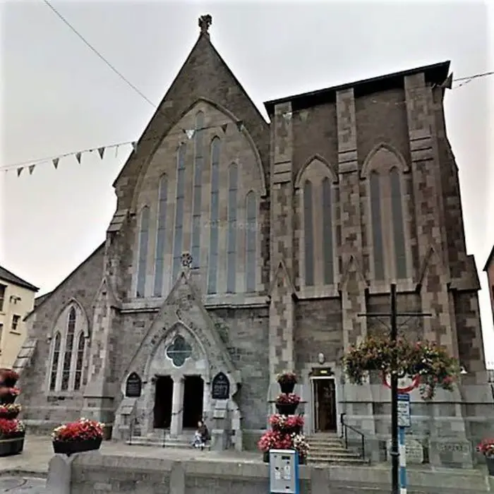 Church (in ruins)Church · 14 yd
 Man-made underground passage in BrittasMan-made underground passage · 1039 yd
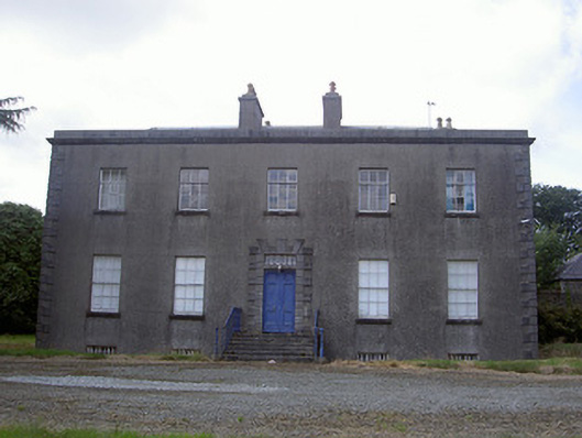 Piperstown Housecountry house · 1278 yd
 CastleCastle, motte · 1357 yd
 Holy well in CarrickbaggotHoly well · 1713 yd
 Chapel (in Ruins), GraveyardChurch · 1.2 mi
 MonasterboiceEarly monastic site · 3.2 mi
 Muiredach's High CrossHeritage attraction · 3.2 mi
 Castle (Site of)Castle, tower house · 3.5 mi
 BarabonaMountain / peak · 4.1 mi
 Yellow IslandIslet · 5.4 mi
 Grove IslandIslet · 5.5 mi