
What is recorded here
Indicated is a twenty-metre fairy fort perched on a steep slope above Currygrane Lough, its low earth bank still marking the edge of an older world. The original entrance has vanished, and nearby fields have swallowed part of the rampart, yet the circle remains clear enough to stop a person mid-stride. It is the kind of place where ordinary measurement fails because the boundary is no longer a wall but a warning.
On a steep WSW-facing slope overlooking Currygrane Lough. Depicted as a circular enclosure with the designation 'Fort' on the 1837 ed. of the OS 6-inch map. A report in 1986 (SMR file) noted that this raised circular area (diam. c. 20m) was defined by a low bank of earth and stone and an external fosse. It is defined by a scarp (H 0.7-1m) from S-W-N. Elsewhere the enclosing element has been modified and incorporated into a field boundary. The original entrance is not recognisable.
Compiled by: Patrick F. O'Donovan
Date of upload: 26 August 2011
The monument record does not grant public access. Check the route and ask the landowner before entering private land.
- What survives
- Recorded monument
Places near here
 Frys IslandCrannog · 367 yd
 Round IslandCrannog · 553 yd
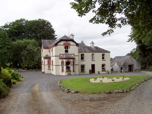 Corbeagh Househouse · 1148 yd
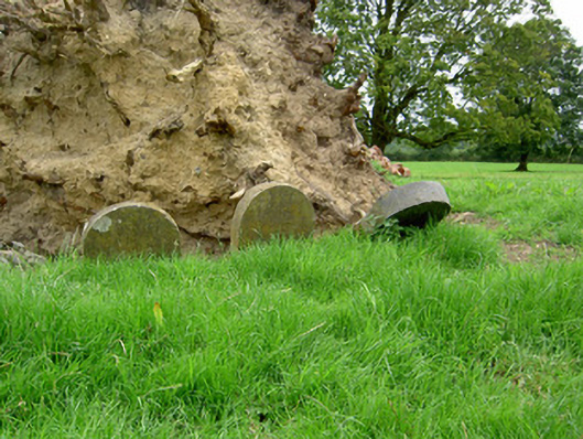 Currygrane Housepet cemetery · 1381 yd
 Ballinalee Forest WalkForest · 1.5 mi
 Moat & CastleCastle, motte and bailey · 1.8 mi
 Bully's Acregraveyard/cemetery, unknown · 1.9 mi
 Bawn in CurrycahillBawn · 1.9 mi
 Clonfin Ambush MemorialMemorial · 2.2 mi
 Cloonfin WoodForest · 2.4 mi
 Edgeworthstown BypassMemorial · 4.3 mi
 InchmoreIslet · 5.6 mi
Other information
Photo: Credit not shown in the picture search · Rights wording not checked; contact us if this picture should be removed