What is recorded here
On a lower E slope of Knocknanuss mountain in the Galty mountain range. Located c. 40-50m W of a steep river gully. A circular stone enclosure (int. diam. 12.8m N-S; 13.2m E-W; overall diam. 18.5m N-S; 17.5m E-W) defined by a large collapsed rubble stone wall (T 1.7m; H 0.35-0.9m). The W quadrant was built into the mountain slope. There is a possible entrance in the ESE defined by two sandstone boulders with flat faces to the S.
Compiled by: Jean Farrelly
Date of upload: 26 August 2011
The monument record does not grant public access. Check the route and ask the landowner before entering private land.
- What survives
- Recorded monument
Places near here
 Lough CurraWalking route · 192 yd
 Hut site in DrumleaghHut site · 268 yd
 Noel's NippleNamed rock · 499 yd
 Giant's Rock - Rock of AglaishNamed rock · 1601 yd
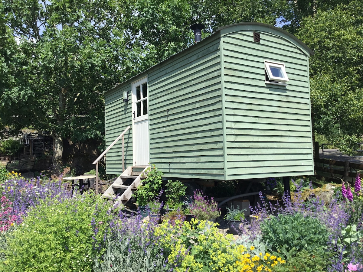 Hut site in GlencoshabinniaHut site · 1.0 mi
 Lough Curra MoundMountain / peak · 1.1 mi
 CurraghMountain / peak · 1.2 mi
 Glengarra WoodWood · 1.8 mi
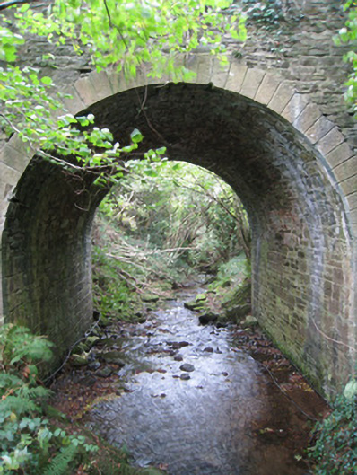 Longford Bridgebridge · 1.9 mi
 Site of Dungrot CastleCastle, unclassified · 2.0 mi
 Dungrot Bridgebridge · 2.0 mi
 Ballynacourty HouseCastle, unclassified · 2.3 mi