What is recorded here
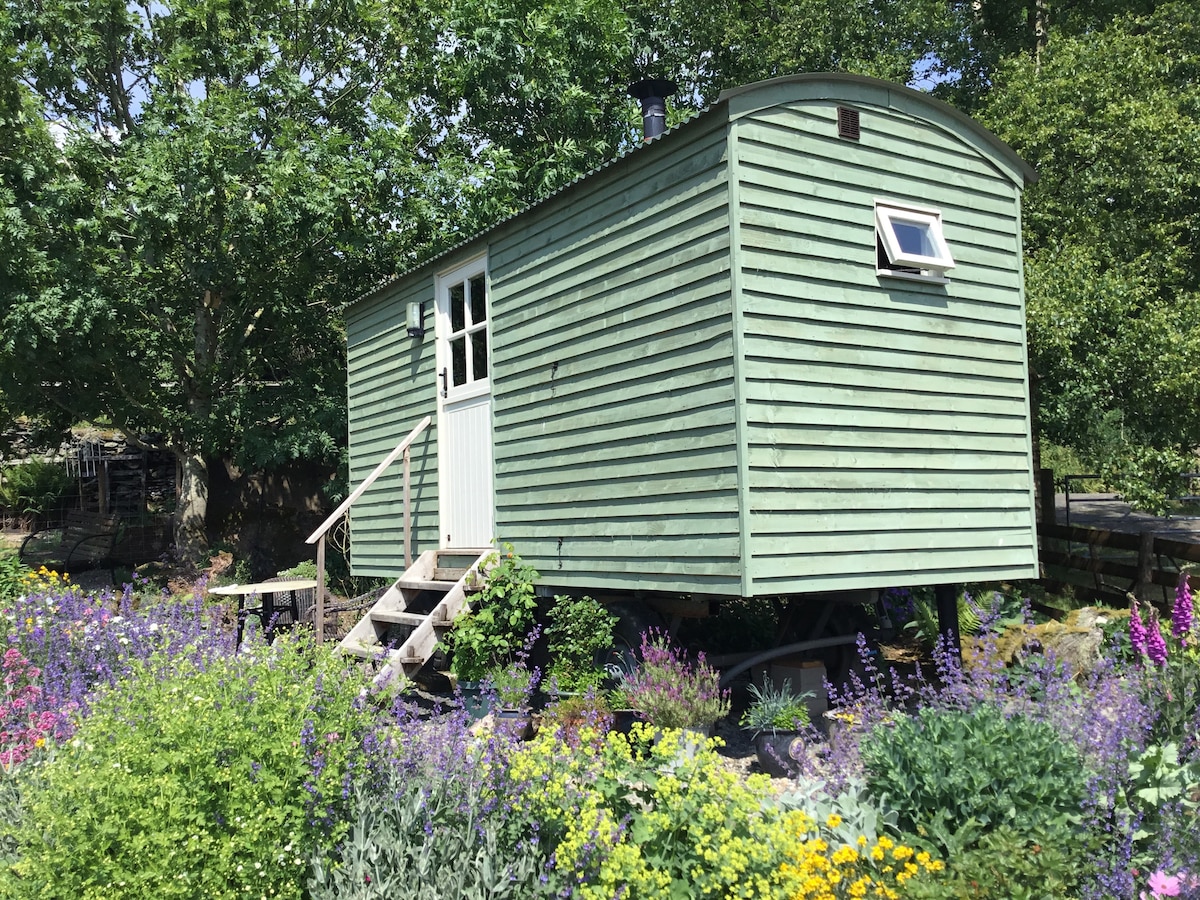
Listed as Glencoshabinnia 2 (Costello 2016, 96; Costello 2016, 300). Roughly rectangular single roomed hut site (ext. dims. 8.7m x 4.4m; int. dims. 6.2m x 2.8m) aligned E-W, with likely entrance in centre of N side wall. Located on gently-sloping dryish heath between improved farmland on lowest slopes and island of same upslope to the S. Walls (avg. int. H 0.6m; avg. ext. H 0.3; avg. Wth 0.8m) are constructed largely of earth with some stone. Internal space is dug out of the slope slightly.
See attached photograph courtesy of Dr. Eugene Costello
Compiled by: Dr Eugene Costello
Date of upload: 26 August 2020
The monument record does not grant public access. Check the route and ask the landowner before entering private land.
- What survives
- Recorded monument
Places near here
 Hut site in DrumleaghHut site · 1603 yd
 Lough CurraWalking route · 1662 yd
 EnclosureEnclosure, large enclosure · 1757 yd
 Glengarra WoodWood · 1.0 mi
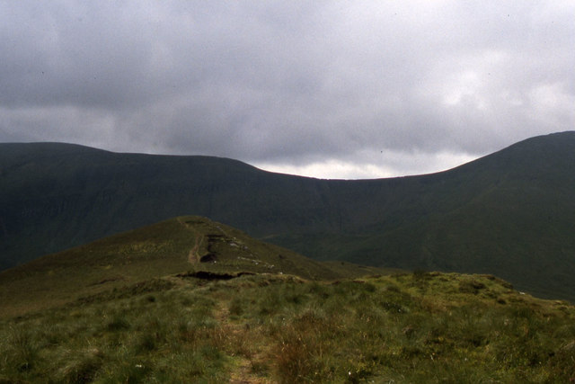 CushMountain / peak · 1.2 mi
 Noel's NippleNamed rock · 1.2 mi
 Church (in ruins)Church · 1.3 mi
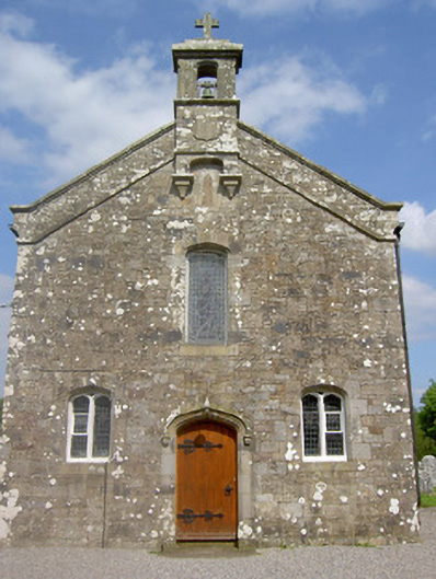 Saint Sedna's Church (Clongbeg)church/chapel · 1.3 mi
 Giant's Rock - Rock of AglaishNamed rock · 1.4 mi
 CurraghMountain / peak · 1.6 mi
 Ballynacourty HouseCastle, unclassified · 1.8 mi
 Glen of AherlowViewpoint · 2.2 mi
Other information
Photo: Credit not shown in the picture search · Rights wording not checked; contact us if this picture should be removed