
What is recorded here
Possible rectangular hut site (ext. dims. 7.4m x 4.2m) located in a small, triangular patch of cultivation ridges which run downslope in an E-W direction. Listed as Dromleagh 4 (Costello 2016, 96; Costello 2016, 299) and described as a roughly rectangular spread of stones, aligned E-W, on a gentle grassy slope. A possible internal wall noted 2.3m from its E end suggests that it may be a collapsed hut. To the S of the structure are two clearance cairns, containing stones picked from the ridges. A gently-curving bank and ditch runs above the cultivation ridges, presumably to channel surface water away from whatever crop(s) used to grow on the ridges (Costello 2020, 126).
See attached photograph courtesy of Dr. Eugene Costello
Compiled by: Dr Eugene Costello
Date of upload: 26 August 2020
The monument record does not grant public access. Check the route and ask the landowner before entering private land.
- What survives
- Recorded monument
Places near here
 Lough CurraWalking route · 77 yd
 Noel's NippleNamed rock · 512 yd
 Giant's Rock - Rock of AglaishNamed rock · 1462 yd
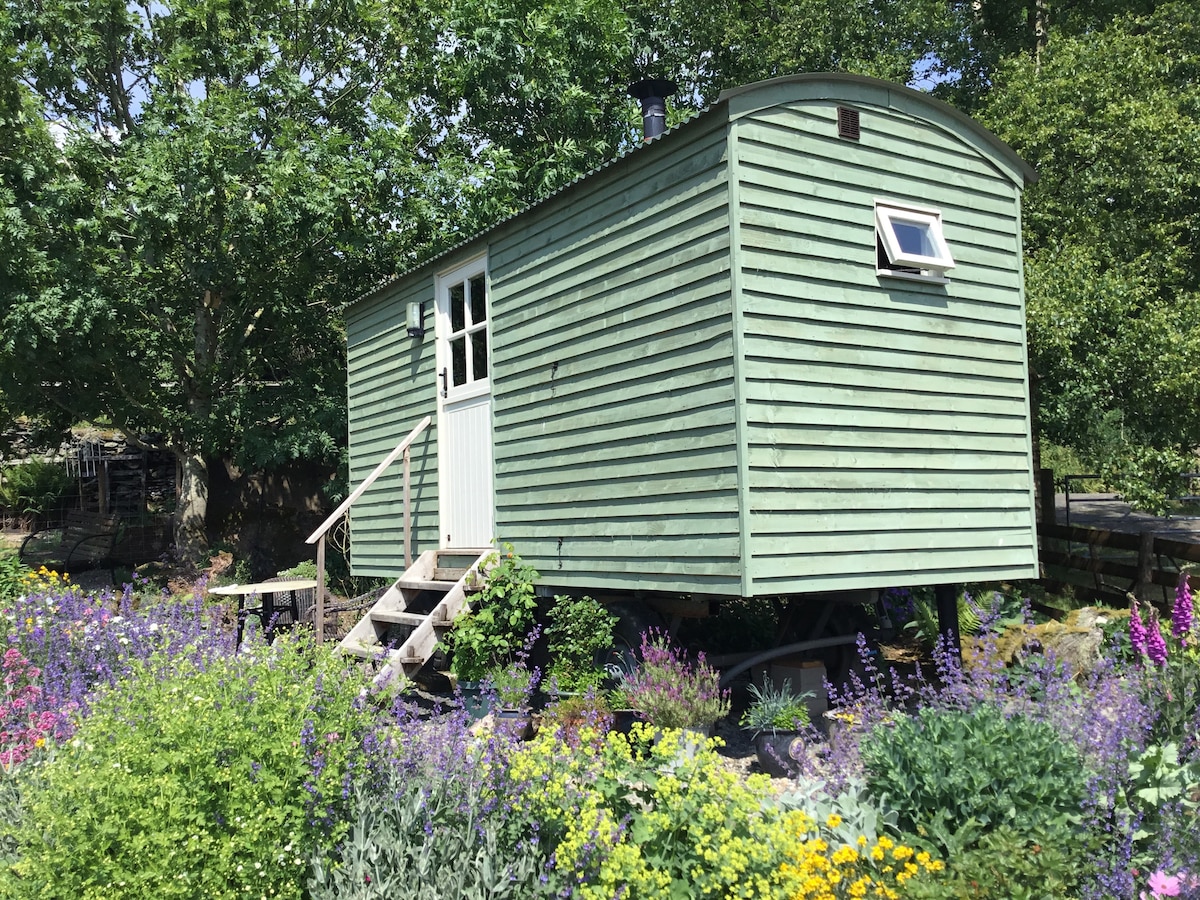 Hut site in GlencoshabinniaHut site · 1603 yd
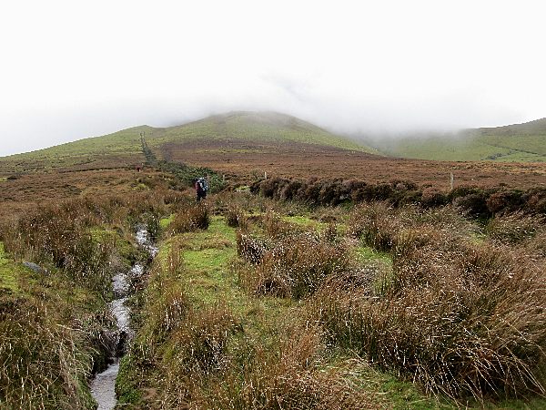 Enclosure in MoneynaboolaEnclosure · 1.1 mi
 CurraghMountain / peak · 1.1 mi
 Lough Curra MoundMountain / peak · 1.2 mi
 Glengarra WoodWood · 1.7 mi
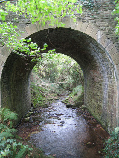 Longford Bridgebridge · 1.8 mi
 Site of Dungrot CastleCastle, unclassified · 1.9 mi
 Dungrot Bridgebridge · 1.9 mi
 Ballynacourty HouseCastle, unclassified · 2.2 mi
Other information
Photo: Credit not shown in the picture search · Rights wording not checked; contact us if this picture should be removed