
What is recorded here
In the Aherlow river valley, in pasture. The River Aherlow flows roughly E-W c. 600m to the NNW and a tributary of this river flows roughly N-S c. 800m to the W. A large enclosure (TS074-025----) is located c. 190m to the NW.
A large sub-rectangular enclosure (overall dims. c. 90m NNE-SSW; c. 70m WNW-ESE), which appears to be defined by scarp and an outer fosse, is visible on satellite imagery (Google Earth, imagery date 16 December 2016 and 20 January 2020), identified and reported by Jean-Charles Caillère. The enclosure has rounded corners. A field boundary runs N-S through the SW sector.
See attached:
TS074-032----_01 Google Earth image (imagery date 16 December 2016)
Compiled by: Jean Farrelly
Date of upload: 25 May 2022
The monument record does not grant public access. Check the route and ask the landowner before entering private land.
- What survives
- Recorded monument
Places near here
 EnclosureEnclosure, large enclosure · 273 yd
 St. Johns WellHoly well · 1245 yd
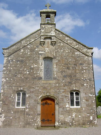 Saint Sedna's Church (Clongbeg)church/chapel · 1291 yd
 Church (in ruins)Church · 1291 yd
 Glengarra WoodWood · 1.2 mi
 Glen of AherlowViewpoint · 1.2 mi
 Christ the KingViewpoint · 1.2 mi
 Ballynacourty HouseCastle, unclassified · 1.5 mi
 Bansha ForestForest · 1.7 mi
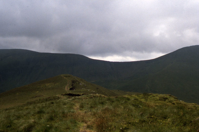 CushMountain / peak · 1.8 mi
 The RockViewpoint · 1.9 mi
 Lough CurraWalking route · 1.9 mi
Other information
Photo: Credit not shown in the picture search · Rights wording not checked; contact us if this picture should be removed