
What is recorded here
On a broad flat ridge between Slievenamuck Mountain to the N and the Galtee Mountains to the S, in pasture. The Aherlow River flows W-E c. 400m to the N and the Clydagh River flows S-N c. 600m to the W. Identified on OS ortho image. Large roughly D-shaped enclosure (diam. 81m N-S; 61m E-W) defined by an inner bank (int. H 0.16m; ext. H 0.3-0.72m; Wth at top 3m; overall Wth 7.5m) largely reduced to scarp, a wide flat-bottomed fosse (Wth 4.5-5.5m) and outer bank (int. H 0.4-0.57m; ext. H 0.22-0.38; Wth at top 3m; overall Wth 7.5m). The E and S sides are relatively straight, though both curve at the angles. Between the NE angle and the SW angle there is a continuous curve on the W side. A field boundary ran N-S through the eastern portion of the enclosure. The boundary, depicted on the 1st (1840) 6-inch OS map, has been removed by the 1904 OS revision, though the ditch (Wth 4.5m; D 0.35m) is still visible. The interior is slightly undulating.
Compiled by: Jean Farrelly
Date of upload: 28 April 2015
This remains an important historical record, but the official description says the monument is no longer visible or has been destroyed. The monument record does not grant public access. Check the route and ask the landowner before entering private land.
- What survives
- No visible remains or recorded as destroyed
Places near here
 St. Johns WellHoly well · 974 yd
 Church (in ruins)Church · 1019 yd
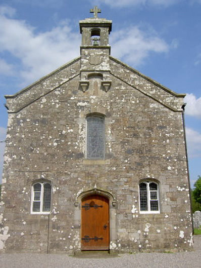 Saint Sedna's Church (Clongbeg)church/chapel · 1020 yd
 IndicatedFairy fort / earthen ringfort · 1159 yd
 Glen of AherlowViewpoint · 1.2 mi
 Christ the KingViewpoint · 1.2 mi
 Glengarra WoodWood · 1.3 mi
 Ballynacourty HouseCastle, unclassified · 1.4 mi
 Bansha ForestForest · 1.5 mi
 The RockViewpoint · 1.9 mi
 Lough CurraWalking route · 1.9 mi
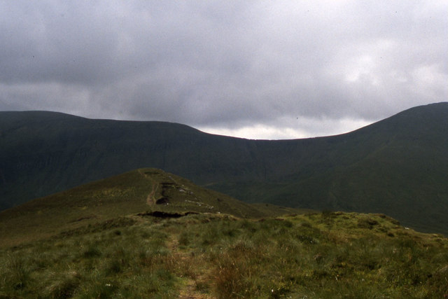 CushMountain / peak · 2.0 mi
Other information
Photo: Credit not shown in the picture search · Rights wording not checked; contact us if this picture should be removed