
What is recorded here
On a S-facing slope at the base of the S side of Slievenamuck mountain, in gently undulating terrain, 10m N of the main road through the Glen of Aherlow. It is currently in the grounds of a camping park and the surrounding field has been cut to form a lawn around the monument. A small circular area (diam. 15.5m N-S; 16m E-W) enclosed by a bank (Wth 3.8m; int. H 0.25m; ext. H 1.28m) and fosse (Wth c. 5m; D 0.18m), the latter is not evident in the S quadrant. The edge of the enclosure from SE-W-NNW is heavily overgrown with brambles. The bank survives best from SE-W-NW and is completely denuded in the E quadrant where it appears to have been levelled into the fosse. This quadrant may be location of the entrance. The interior, which slopes to the S, is overgrown with long grass and brambles.
Compiled by: Jean Farrelly
Date of upload: 26 August 2011
The monument record does not grant public access. Check the route and ask the landowner before entering private land.
- What survives
- Recorded monument
Places near here
 Enclosure in Newtown (clonbeg Par.)Enclosure · 381 yd
 St. Johns WellHoly well · 434 yd
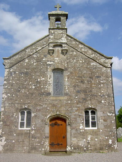 Saint Sedna's Church (Clongbeg)church/chapel · 439 yd
 Church (in ruins)Church · 453 yd
 Bansha ForestForest · 1563 yd
 Ballynacourty HouseCastle, unclassified · 1689 yd
 Glen of AherlowViewpoint · 1.0 mi
 Christ the KingViewpoint · 1.1 mi
 The RockViewpoint · 1.8 mi
 Glengarra WoodWood · 2.0 mi
 SlievenamuckMountain / peak · 2.0 mi
 Breansha Castle ruinsCastle · 2.1 mi
Other information
Photo: Credit not shown in the picture search · Rights wording not checked; contact us if this picture should be removed