What is recorded here
On a SE-facing slope of Slievenamuck mountain, on the W edge of a steep-sided mountain stream gorge, in dense undergrowth of brambles, ferns, deadwood, gorse and scrub. Identified on an aerial photograph (Air Corps V.311/2949-8) as an enclosure which appears to be D-shaped with the gorge possibly forming the E edge. It is not visible at ground level.
From the National Monuments Service (Archaeological Survey of Ireland) record TS073-019
The monument record does not grant public access. Check the route and ask the landowner before entering private land.
- What survives
- Recorded monument
Places near here
Photo credits
- National Inventory of Architectural Heritage
- N Chadwick, Wikimedia Commons · CC BY-SA 2.0
- N Chadwick, Geograph · CC BY-SA 2.0
- Colin Park, Geograph · CC BY-SA 2.0
- kevin higgins, Geograph · CC BY-SA 2.0
- Graham Horn, Wikimedia Commons · CC BY-SA 2.0
- Deemaykay, Wikimedia Commons · CC BY-SA 4.0
- Willow, Wikimedia Commons · CC BY 2.5
The Mount Russell Ogham StoneArchaeological place · 285 yd Saint Sedna's Church (Clongbeg)Church/chapel · 719 ydSaint Sedna's Church (Clongbeg)Mausoleum · 720 ydGlen of AherlowViewpoint · 1.1 miChrist the KingViewpoint · 1.1 miThe RockViewpoint · 1.8 miSlievenamuckMountain / peak · 1.8 miLough CurraWalking route · 2.5 miCushMountain / peak · 2.8 miThe Maid of ErinMemorial · 3.7 miCrossCross, High cross · 4.8 miEuropean ash5.7 mi
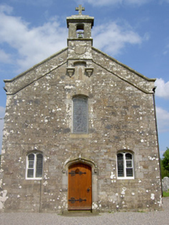 Saint Sedna's Church (Clongbeg)Church/chapel · 719 yd
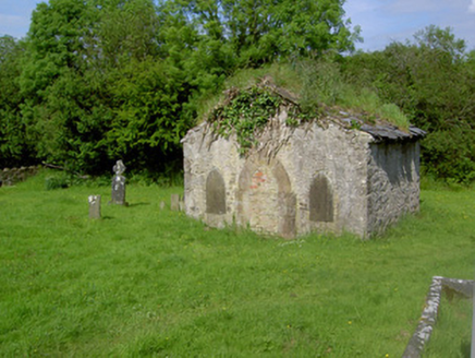 Saint Sedna's Church (Clongbeg)Mausoleum · 720 yd
 Glen of AherlowViewpoint · 1.1 mi
 Christ the KingViewpoint · 1.1 mi
 The RockViewpoint · 1.8 mi
 SlievenamuckMountain / peak · 1.8 mi
 Lough CurraWalking route · 2.5 mi
 CushMountain / peak · 2.8 mi
 The Maid of ErinMemorial · 3.7 mi
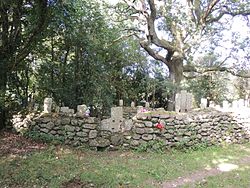 CrossCross, High cross · 4.8 mi
 European ash5.7 mi
More archaeology and monuments in County Tipperary · All of County Tipperary
What do you know about this place?