What is recorded here
Drumkeen Old Graveyard keeps its dead inside a subcircular border, shaping memory like a bowl rather than a row. Two hundred metres east, St. Brigid’s well still gives water, suggesting the land has long served both the living and the buried. The shape may preserve an older idea of death, while the modern graves continue it without breaking the line.
A modern graveyard subcircular in shape, possibly indicating an early origin. A holy well (DG069-009-) dedicated to St. Brigid lies c. 200m to the E.
The above description was derived from the 'Archaeological Survey of County Donegal. A description of the field antiquities of the County from the Mesolithic Period to the 17th century.' Compiled by: Brian Lacey with Eamon Cody, Claire Cotter, Judy Cuppage, Noel Dunne, Vincent Hurley, Celie O'Rahilly, Paul Walsh and Seán Ó Nualláin (Lifford: Donegal County Council, 1983). In certain instances the entries have been revised and updated.
Date of upload: 22 September 2008
The monument record does not grant public access. Check the route and ask the landowner before entering private land.
- What survives
- Recorded monument
Places near here
 ToberbrideHoly well · 215 yd
 Former Drumnacross Fairy FortFairy fort / ringfort · 503 yd
 Newtown Bridgebridge · 708 yd
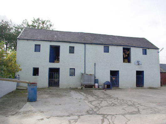 barnbarn · 1.7 mi
 Bawn in Killynure OR Wilsons FortBawn · 2.4 mi
 Drumboe WoodForest recreation place · 4.4 mi
 Castle (Site of)Castle, unclassified · 4.6 mi
 Newmills Corn and Flax MillsHeritage attraction · 4.8 mi
 Battle of Scarrifholisbattle · 4.9 mi
 Gorey HillMountain / peak · 5.0 mi
 Lurgybrack Open FarmHeritage attraction · 5.0 mi
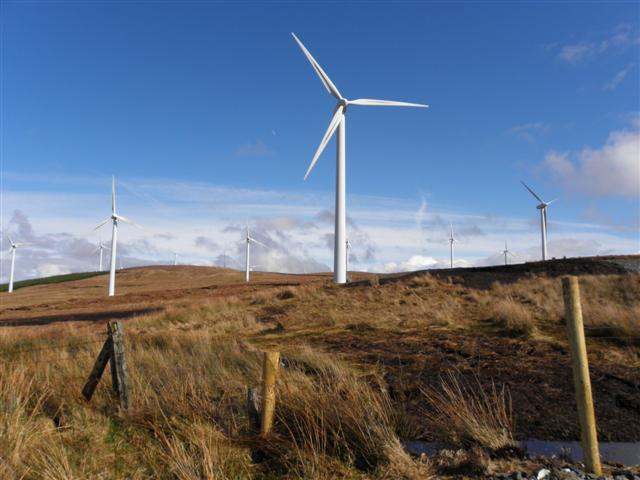 Three TopsMountain / peak · 5.4 mi