
What is recorded here
Single-arched humpbacked bridge carrying road over the Deele River, built c. 1800. Segmental-headed arch with cut stone voussoirs; cement lining to arch barrel. Rubble stone construction to spandrels, piers and parapets. Rubble stone buttress to the south-east elevation. Rubble stone wing walls to either ends of parapets, stepping out from bridge. Modern repairs in places. Tarmacadam deck with grass verges. Located in the rural countryside to the west of Convoy.
This appealing slightly humpbacked single-arch bridge retains its early character and form, and is an appealing feature in the scenic rural landscape to the west of Convoy. It is robustly-constructed in local rubble stone masonry, and its continued survival and use stands as testament to the quality of its original construction, and of the skill of the masons involved. The slightly humpbacked form and relatively narrow plan of the bridge suggests an early date for this bridge, perhaps late-eighteenth or early-nineteenth century, a period that saw a great deal of road and bridge-building throughout Ireland, particularly by the Grand Juries (the forerunners of the County Councils). This bridge is notable for the wide span of the arch, which creates a composition of some engineering and technical merit as well as created a visually appealing composition. The wing walls to either end of the parapets step out from the plan of the bridge, which is a feature of many bridges in County Donegal. This rustic bridge is an element of the built heritage and transport history of the local area, adding appealing to its pleasing location.
This does not grant access. Most recorded buildings are privately owned; view them only from public ground unless the owner allows entry.
Places near here
 Former Drumnacross Fairy FortFairy fort / ringfort · 687 yd
 ToberbrideHoly well · 917 yd
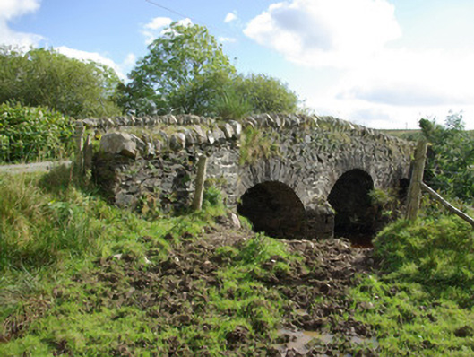 bridgebridge · 1.7 mi
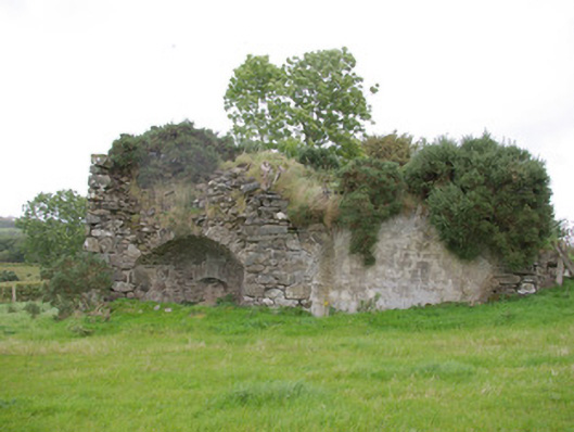 kilnkiln · 1.7 mi
 Bawn in Killynure OR Wilsons FortBawn · 2.8 mi
 Drumboe WoodForest recreation place · 4.4 mi
 Newmills Corn and Flax MillsHeritage attraction · 4.6 mi
 Site of Castle SollusCastle, unclassified · 4.6 mi
 Battle of Scarrifholisbattle · 4.7 mi
 Gorey HillMountain / peak · 4.7 mi
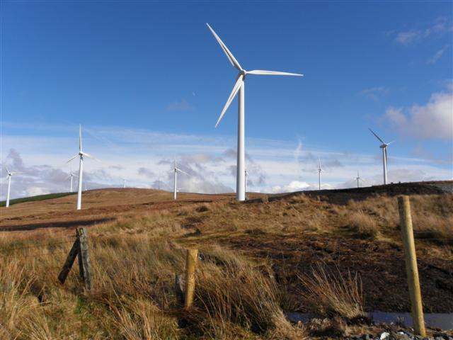 Three TopsMountain / peak · 5.0 mi
 Lurgybrack Open FarmHeritage attraction · 5.2 mi
Other information
Photo: Kenneth Allen · CC BY-SA 2.0