What is recorded here
Drumduff holds a forgotten ringfort, buried beneath rough pasture at the base of a northwest-facing slope. A 1835 map caught its twenty-metre circular shadow before the grass erased it completely. The fort disappeared not through destruction but patience, swallowed by soil and time until even its name vanished. What remains is a ghost in the earth, waiting for someone desperate enough to dig through centuries of green silence.
Located in rough pasture at the base of a NW-facing slope. It is depicted as a small circular embanked enclosure (ext. diam. c. 20m) on the 1835 edition of the OS 6-inch map but it is not named. No feature is visible at ground level.
The above description is derived from 'The Archaeological Inventory of County Leitrim' compiled by Michael J. Moore (Dublin: Stationery Office, 2003). In certain instances the entries have been revised and updated in the light of recent research.
Date of upload/revision: 13 December 2011
The monument record does not grant public access. Check the route and ask the landowner before entering private land.
- What survives
- Recorded monument
Places near here
 Corn kilnSweathouse · 1174 yd
 Fairy fort / stone ringfort in CleighranFairy fort / stone ringfort · 1231 yd
 CastleCastle, unclassified · 1.1 mi
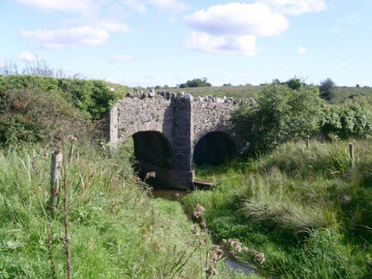 bridgebridge · 1.1 mi
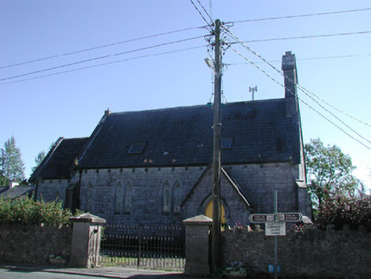 Tiraghrillchurch/chapel · 1.1 mi
 MoteCastle, motte · 1.1 mi
 SlishwoodWood · 2.6 mi
 Cullentra ForestForest · 2.7 mi
 Trawane BayBay · 2.9 mi
 InnisfreeIslet · 3.0 mi
 Giants GraveArchaeological place · 3.2 mi
 Slishwood Island WestIslet · 3.3 mi