
What is recorded here
No visible fortification exists at Cleighran. The chestnut tree stands alone on open ground, unmarked and unmapped. What is missing is the point: the state removed the fort but never admitted it. A clear land boundary and a protected identity disappeared together. The absent fort is easier to measure than the visible one because it reveals the shape of the claim being avoided.
Located towards the bottom of a gentle W-facing slope with a small SW-NE stream c. 130m to the NW. This is an overgrown circular platform (diam. c. 35-40m) defined by a scarp (H 0.6-0.8m at S to 1.2-1.4m at N) surmounted by a stone spread (Wth 1.5-2m; H 0.2-0.8m), sometimes with a berm (Wth up to 2.7m) between the outer edge of the spread and the top of the scarp. There are entrance gaps at NNE (Wth 2.2m) and at E (Wth 2.2m). Cashel (LE014-034----) is c. 160m to the W.
The above description is derived from 'The Archaeological Inventory of County Leitrim' compiled by Michael J. Moore (Dublin: Stationery Office, 2003). In certain instances the entries have been revised and updated in the light of recent research.
Date of upload: 23 September 2008
The monument record does not grant public access. Check the route and ask the landowner before entering private land.
- What survives
- Recorded monument
Places near here
 Corn kilnSweathouse · 1445 yd
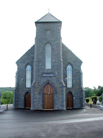 Saint Mary's Catholic Churchchurch/chapel · 1656 yd
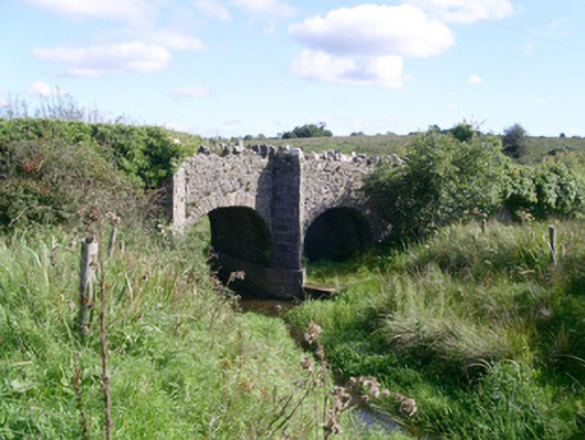 bridgebridge · 1.0 mi
 Bryan Mulveys fortFairy fort / earthen ringfort · 1.4 mi
 CastleCastle, unclassified · 1.4 mi
 MoteCastle, motte · 1.7 mi
 SlishwoodWood · 3.2 mi
 Cullentra ForestForest · 3.3 mi
 Giants GraveArchaeological place · 3.5 mi
 Trawane BayBay · 3.6 mi
 InnisfreeIslet · 3.6 mi
 Slishwood Island WestIslet · 4.0 mi
Other information
Photo: Credit not shown in the picture search · Rights wording not checked; contact us if this picture should be removed