
What is recorded here
On a low spine of elevated dry ground extending from the W end of a high E-W ridge through poorly drained rushy pasture. A circular platform (27.5m N-S; 27m E-W) defined by an earthen bank, an intervening fosse and an outer bank, with an external fosse evident SW-NW. The banks appear as low grass-covered rises protruding from a sea of rushes engulfing the interior of the rath and the fosse. The inner bank (Wth 4m; int. H 0.4m; ext. H 1.65m) has a low flattened internal lip but a pronounced external scarp. The intervening fosse (Wth 3m) is visible as a slight depression of soft wet ground. The outer bank (Wth 4.5m; int. 0.3m; ext. H 0.35m) survives SW-SE as a broad flattened grass-covered rise. The entrance (Wth 1.8m) is at ENE with a corresponding low area in the outer bank but no obvious causeway over the fosse. Stones protrude randomly from the terminal of the inner bank on the S side of the entrance. A remnant of a N-S field boundary crosses the outer bank at E. The interior is mostly level but with a slight slope down to ESE in the E half towards the entrance.
The above description is derived from the published 'Archaeological Inventory of County Sligo' compiled by Ursula Egan, Elizabeth Byrne, Mary Sleeman with Sheila Ronan and Connie Murphy (Dublin Stationery Office, 2005).
Date of upload: 18 January 2008
The monument record does not grant public access. Check the route and ask the landowner before entering private land.
- What survives
- Recorded monument
Places near here
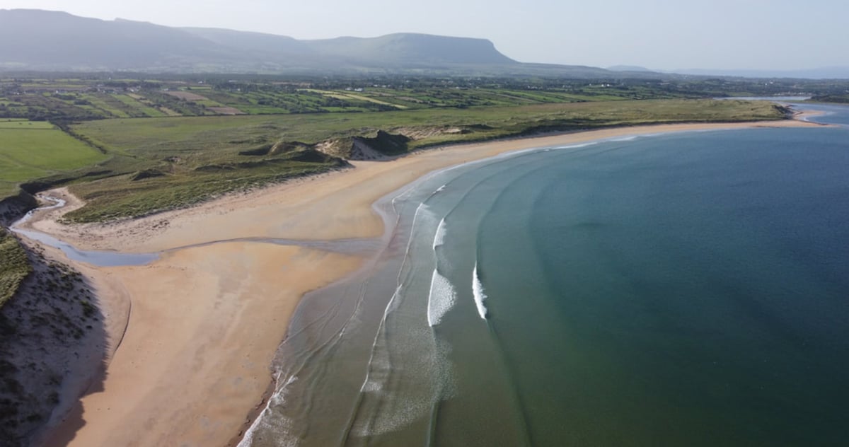 Gilmartins FortFairy fort / earthen ringfort · 399 yd
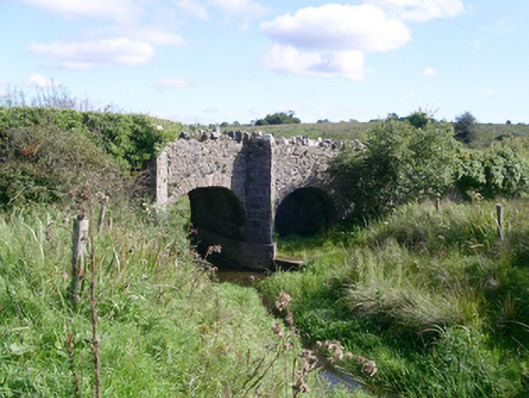 bridgebridge · 582 yd
 Enclosure in Lavally (tirerrill By.)Enclosure · 697 yd
 CastleCastle, unclassified · 1046 yd
 Saint Teresa's Catholic Churchchurch/chapel · 1252 yd
 Drumcondra Castle (in Ruins)Castle, tower house · 1.4 mi
 Giants GraveArchaeological place · 2.2 mi
 SlishwoodWood · 3.0 mi
 Slishwood Island WestIslet · 3.6 mi
 Bunowen BayBay · 3.7 mi
 Slishwood Island EastIslet · 3.7 mi
 Cullentra ForestForest · 3.8 mi
Other information
Photo: Credit not shown in the picture search · Rights wording not checked; contact us if this picture should be removed