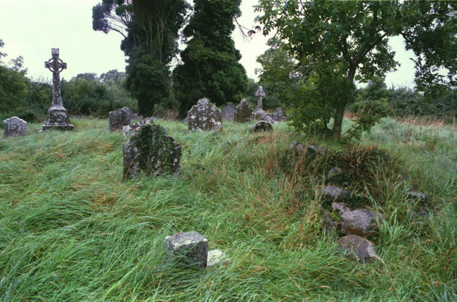
What is recorded here
One Meath graveyard holds a round tower, four high crosses and enough medieval carving to fill a region, all crammed inside walls two metres high. Followers of Colm Cille built the stone church there, later raising it to cathedral rank before it settled back into parish life. The crosses still stand where processions once moved, preserving a density of early Christian art that borders on the impossible.
Located towards the top of the E-facing slope of a drumlin. The church of Drumbride (ME003-009----) is within a rectangular graveyard (dims c. 40m WNW-ESE; c. 32m NNE-SSW) defined by earthen banks with burials dating from c. 1780-c. 1960. The motte (ME003-010----) is c. 30m to the E.
Compiled by: Michael Moore
Date of upload: 30 July, 2014
The monument record does not grant public access. Check the route and ask the landowner before entering private land.
- What survives
- Recorded monument
Places near here
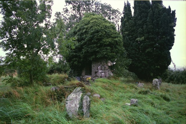 Drumbride Church in RuinsChurch · 8 yd
 MoatCastle, motte · 58 yd
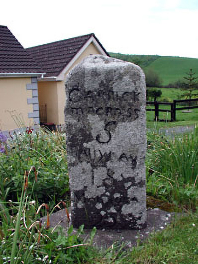 milestone/milepostmilestone/milepost · 368 yd
 Newstone Castle in RuinsCastle, tower house · 1345 yd
 Matthew's HillMountain / peak · 1.3 mi
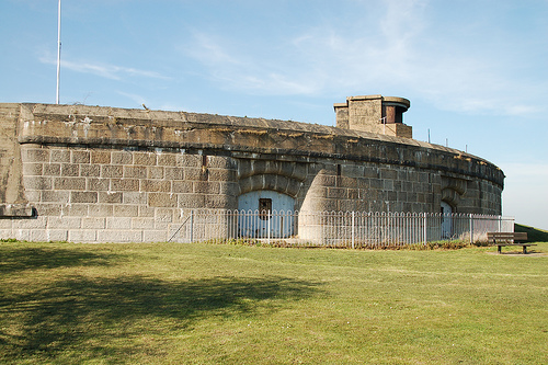 Murray's FortArchaeological place · 1.4 mi
 IndicatedFairy fort / earthen ringfort · 1.6 mi
 Drumran HillMountain / peak · 2.0 mi
 Tree IslandWood · 2.3 mi
 Flat cemetery in AnnaheanFlat cemetery · 3.1 mi
 Nobber GreenwayMemorial · 5.1 mi
 TuliptreeTuliptree · 5.1 mi
Other information
Photo: Kieran Campbell · Creative Commons Attribution-ShareAlike 2.0