
What is recorded here
The fairy fort or ringfort in Dromore (tireragh By.) is in County Sligo, Ireland. The circular enclosure measured about 30m in diameter on the 1837 survey and appears bisected by a trackway on the 1909-12 plan. It stood in pasture on the W edge of Dromore West village before being levelled.
In pasture, on the W edge of Dromore West village. Represented as a circular enclosure (diam. c. 30m) on the OS 1st ed. 6-inch map (surveyed 1837), it is shown as bisected centrally on a E-W axis by a trackway on the OS 25-inch plan (surveyed 1909-12). This enclosure has been levelled.
Compiled by: Paul Walsh
Date of upload: 05 November 2013
The monument record does not grant public access. Check the route and ask the landowner before entering private land.
- What survives
- Recorded monument
Places near here
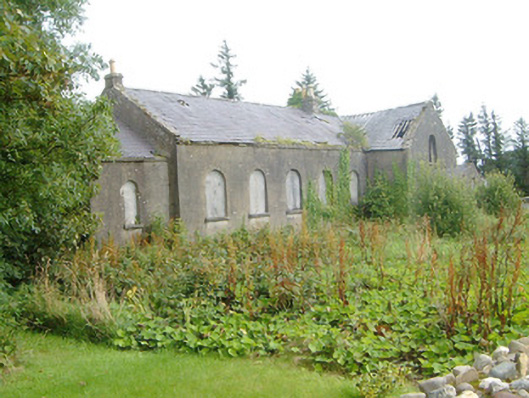 Dromore West Presbyterian Churchchurch/chapel · 562 yd
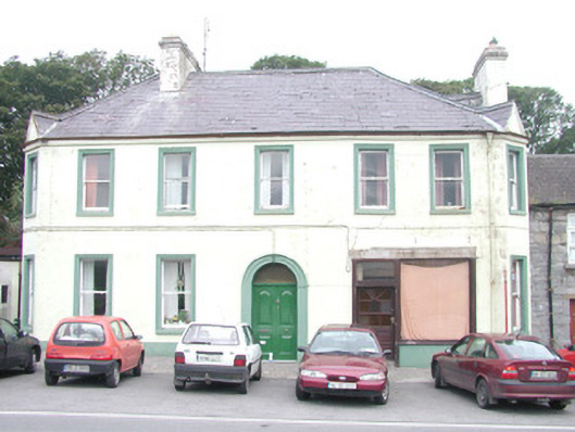 hotelhotel · 570 yd
 Site of Dunneill CastleCastle, unclassified · 605 yd
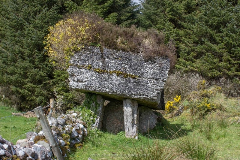 Enclosure in Lecarrow (tireragh By., Buncrowey Ed)Enclosure · 1248 yd
 Enclosure in Carrownrush (tireragh By., Easky East Ed),carrowmablyEnclosure · 1.0 mi
 Ballynahowna CastleCastle, tower house · 1.7 mi
 DonaghHeadland · 1.7 mi
 Split RockNamed rock · 2.6 mi
 Jim Smith MemorialMemorial · 4.0 mi
 Wild Atlantic Way: Easky PierVisitor information · 4.3 mi
 Eamonn's TopMountain / peak · 5.7 mi
 Knockalongy South-West TopMountain / peak · 5.9 mi
Other information
Photo: Credit not shown in the picture search · Rights wording not checked; contact us if this picture should be removed