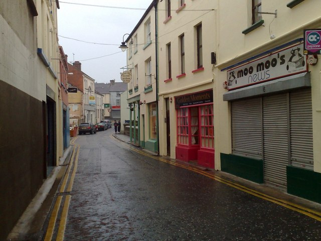
What is recorded here
Indicated is a fairy fort in County Mayo, Ireland. The earth still holds its shape, marking the boundary between human memory and older claims. People may have lived there before folklore took the site, but the story now belongs to the creatures who refuse to leave it empty.
In pasture, on E-facing slope. Roughly circular area (50m N-S; 46m E-W), enclosed by earthen bank (H 1.1m), partly levelled in the E. Remains of possible cashel wall on top of bank.
The above description has been derived from D. Lavelle (compiler), An Archaeological Survey of Ballinrobe and District including Lough Mask and Lough Carra. Lough Mask and Lough Carra Tourist Development Association (1994), No. 158.
Date of upload: 22 January 2013
The monument record does not grant public access. Check the route and ask the landowner before entering private land.
- What survives
- Recorded monument
Places near here
 Enclosure in BaunogesEnclosure · 735 yd
 Castleburke in ruinsCastle, tower house · 1203 yd
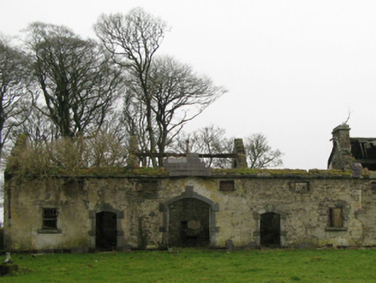 Clogher Housefarmyard complex · 1251 yd
 Bird IslandIslet · 1384 yd
 Mearing IslandIslet · 1398 yd
 Cerberus, from Thomastown HouseMemorial · 1561 yd
 Tober PatrickHoly well · 1712 yd
 Ballintober Abbey in ruinsReligious house, Augustinian canons · 1.1 mi
 Ballintubber AbbeyHeritage attraction · 1.1 mi
 Redgate ParkWood · 1.5 mi
 The Celtic FurrowHeritage attraction · 1.6 mi
 Doon WoodWood · 1.8 mi
Other information
Photo: Credit not shown in the picture search · Rights wording not checked; contact us if this picture should be removed