What is recorded here
Barrow is a buried ring of earth in Annagh, County Limerick, known only through maps and aerial shadows because no one has opened it. It sits beside a stream in flat pasture, near another possible barrow and a ringfort, like a forgotten room in a house nobody enters. The land has been farmed and drained for generations, yet the old shape still shows faintly when dry summer light catches the grass.
In reclaimed pasture, ringfort (LI024-029----) 70m to NW. Second possible ditch-barrow (LI024-348----) 40m to E. Faint outline of ditch-barrow visible on Google Earth orthophoto taken 18/11/2018.
See attached Google Earth orthoimage taken 18/11/2018
Compiled by: Caimin O'Brien based on details provided by Alison McQueen and Vera Rahilly
Date of upload: 29 September 2020
Ditch barrow, likely dating to the Early Bronze Age. Its presence suggests a local tradition of burial practice and may indicate a broader ceremonial landscape associated with nearby monuments.
The monument record does not grant public access. Check the route and ask the landowner before entering private land.
- What survives
- Recorded monument
Places near here
 Station Houserailway station · 671 yd
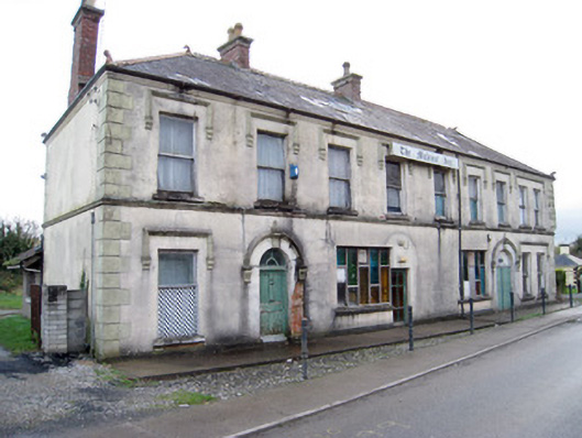 hotelhotel · 678 yd
 Kilduff Castle (in ruins)Castle, tower house · 753 yd
 Kilduff CastleCastle · 753 yd
 ToberagaddySpring · 810 yd
 BarrowBarrow, ditch barrow · 841 yd
 EnclosureEnclosure, large enclosure · 851 yd
 KnockseefinMountain / peak · 1.6 mi
 St. Patrick's WellSpring · 4.3 mi
 Oola HillMountain / peak · 4.3 mi
 Graveyard in AbingtonGraveyard · 5.8 mi
 Flat cemetery in Knockainy WestFlat cemetery · 8.6 mi