What is recorded here
Situated on the SE-facing slope of a large hill, in rolling pasture on uneven ground. The monument is obscured by dense scrub vegetation. It is depicted on the 1924 OS 6-inch map as a circular area enclosed by a bank (diam. c. 25m) on 3 quadrants and by a field wall on the E quadrant. It survives as a sub circular area (15m WNW-ESE; 18m N-S) defined to N, E and S by a scarped edge, and not defined at all to W. The scarp (Wth. 2.6m; H 1.1m) has been eroded by cattle and is shallowest to ESE (Wth. 3m). The interior surface is uneven and masked by nettle growth. It slopes slightly down to E. There is a low mound of grass-covered stones (4.8m N-S; 3.8m E-W; H 0.8m) in the E quadrant of the interior, at the edge of the scarp. This appears to be a recent deposition.
Compiled by: Denis Power
Date of upload: 28 March 2013
The monument record does not grant public access. Check the route and ask the landowner before entering private land.
- What survives
- Recorded monument
Places near here
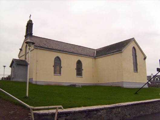 Saint Patrick's Catholic Churchchurch/chapel · 221 yd
 MillMill, unclassified · 1254 yd
 Lickadoon Castle (in ruins)Castle, tower house · 1349 yd
 Not indicated, 394 ft. ODSettlement cluster · 1493 yd
 Burial ground in KnockeaBurial ground · 1519 yd
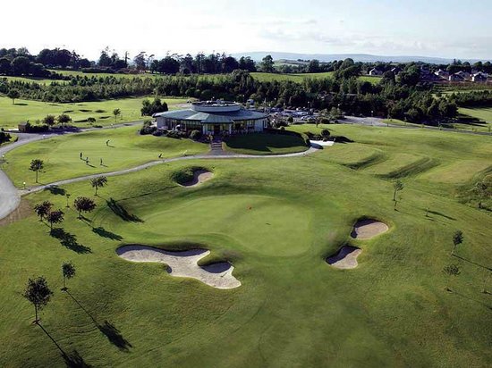 Ballyneety Castle (Site of)Castle, unclassified · 1.0 mi
 ToberauillinSpring · 2.0 mi
 Campus MapVisitor information · 4.5 mi
 Visitor CentreVisitor information · 4.5 mi
 Fountain SculptureHeritage attraction · 4.5 mi
 Graveyard in AbingtonGraveyard · 6.5 mi
 IndicatedBarrow, unclassified · 1555 yd