What is recorded here
Dranagh keeps a thin granite slab standing two metres tall, aligned northeast to southwest like a needle dropped into the earth. Its edges are sharp enough to cut shadow, suggesting human hands shaped it rather than river drift. The stone may have marked a boundary, a burial, or a warning, yet it still points across the field without apology.
The following description is derived from the published 'Archaeological Inventory of County Carlow' (Dublin: Stationery Office, 1993). In certain instances the entries have been revised and updated in the light of recent research.
Date of upload/revision: 17 July 2007
Fairly thin granite slab (H 1.9m, 1.28m x 0.20m). Aligned NE-SW.
The monument record does not grant public access. Check the route and ask the landowner before entering private land.
- What survives
- Recorded monument
Places near here
 Enclosure in DranaghEnclosure · 423 yd
 Saint Moling's Catholic Churchchurch/chapel · 1576 yd
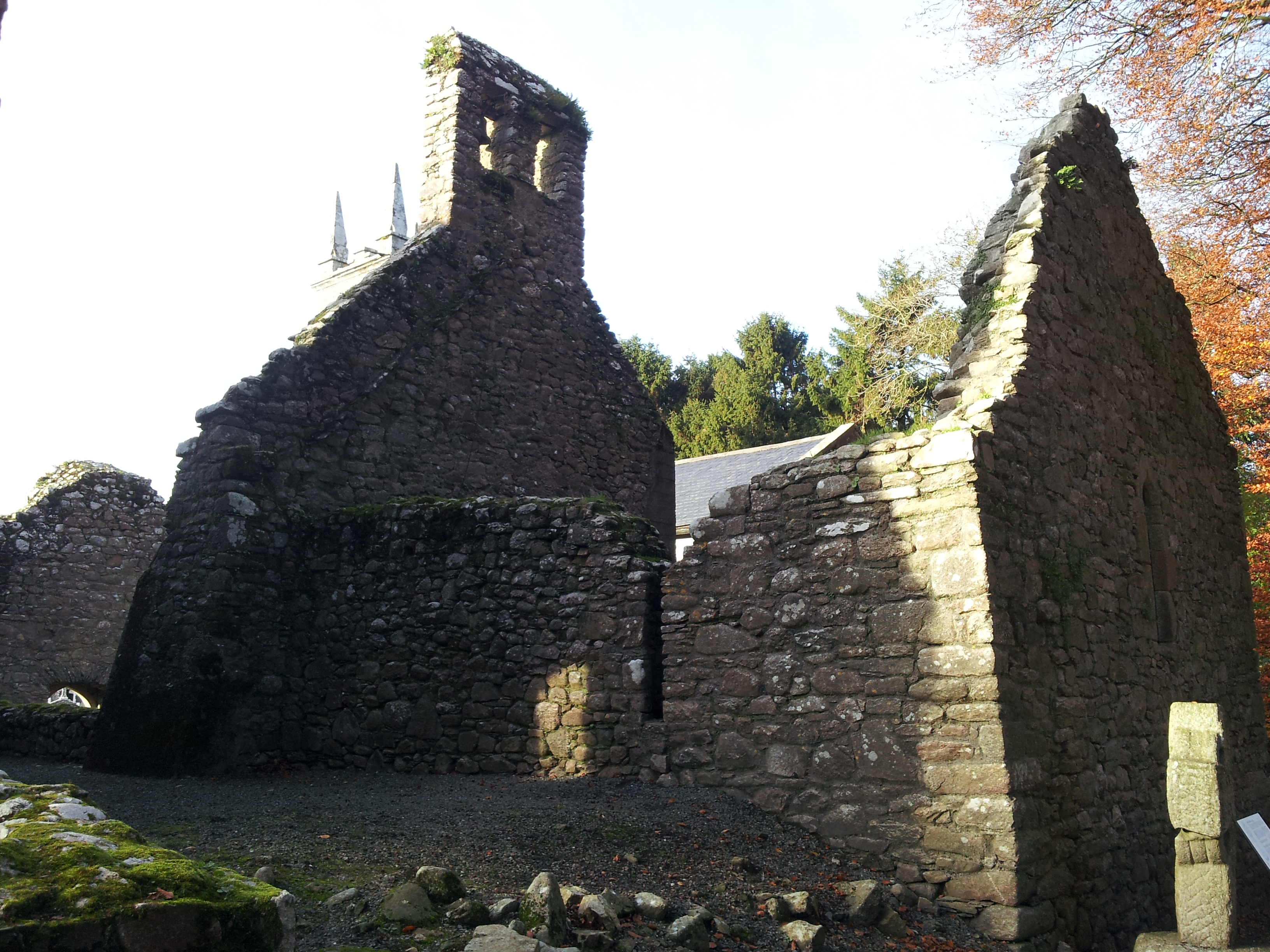 St. Mullins Oratory (in Ruins)Church · 1665 yd
 Enclosure in BallynalourEnclosure · 1.2 mi
 CarrigvahanaghMountain / peak · 1.5 mi
 Graveyard in St. Mullin'sGraveyard · 1.5 mi
 St. Mullins MoatCastle, motte and bailey · 1.6 mi
 Silver WattleSilver Wattle · 1.8 mi
 Pollmounty Castle (in Ruins)Castle, tower house · 1.9 mi
 Bahana WoodForest · 2.0 mi
 The SpoutSpring · 2.2 mi
 White MountainMountain / peak · 2.3 mi