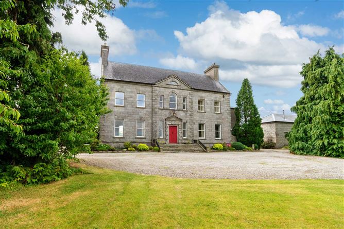
What is recorded here
Possible enclosure visible on aerial photograph (GSIAP). No features discernible at ground level.
Compiled by: Claire Breen
Date of upload: 19 August 2011
A local fairy fort (ringfort/rath); wider significance not recorded.
The monument record does not grant public access. Check the route and ask the landowner before entering private land.
- What survives
- Recorded monument
Places near here
 Pollmounty Castle (in Ruins)Castle, tower house · 1207 yd
 Silver WattleSilver Wattle · 1214 yd
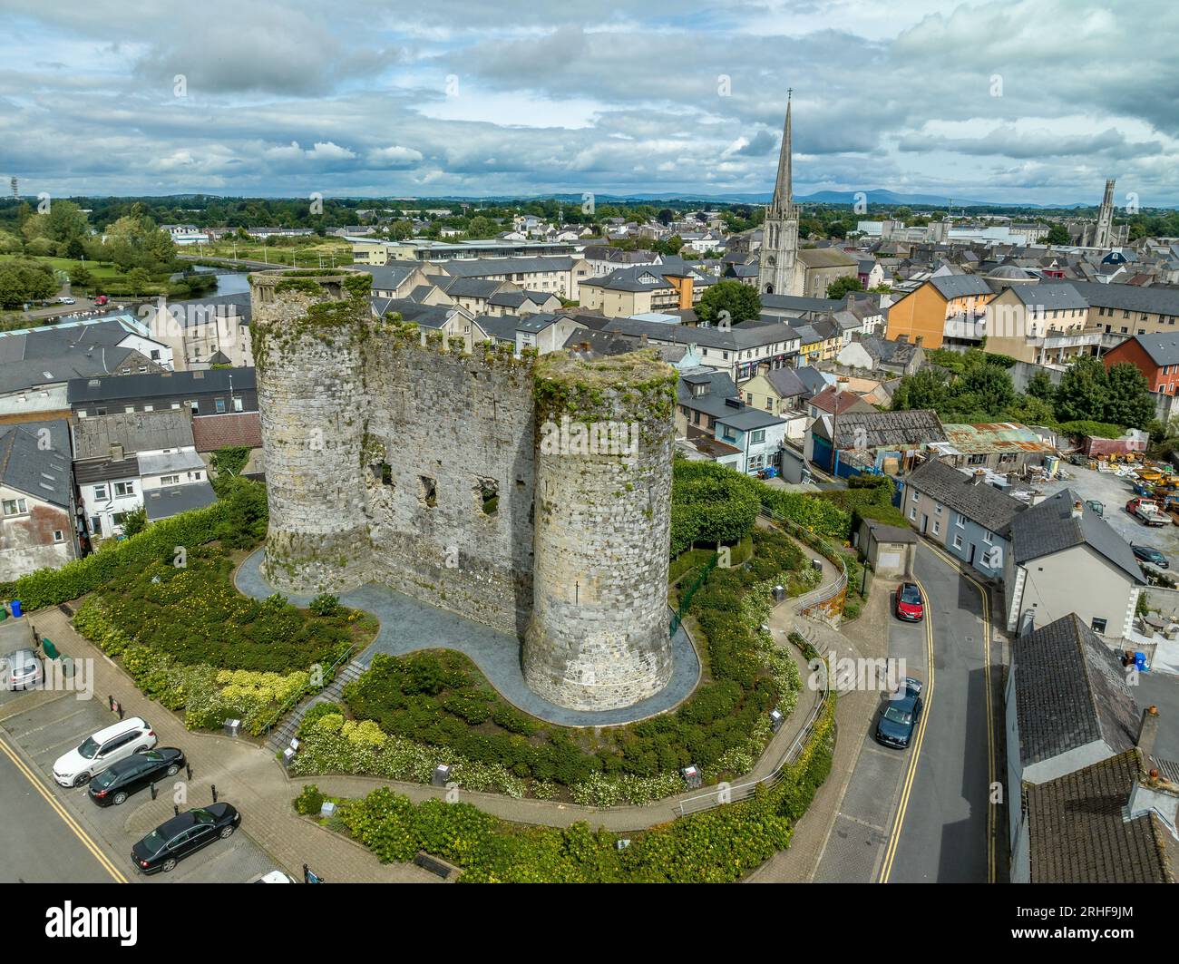 Enclosure in DranaghEnclosure · 1619 yd
 IndicatedHilltop enclosure · 1.3 mi
 CarrigvahanaghMountain / peak · 1.4 mi
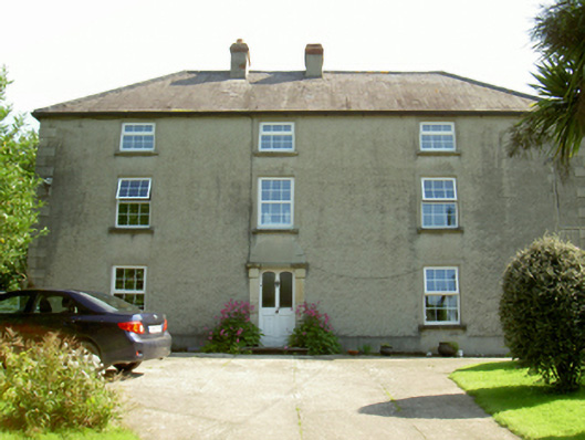 farm housefarm house · 1.6 mi
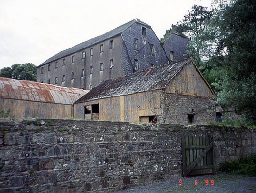 Saint Mullin's Millmill (water) · 1.6 mi
 Graveyard in St. Mullin'sGraveyard · 1.7 mi
 Clogaralt Castle (site of)Archaeological place · 1.7 mi
 1798 RebellionMemorial · 1.9 mi
 The SpoutSpring · 2.3 mi
 The Kiln FieldWood · 2.4 mi
Other information
Photo: Credit not shown in the picture search · Rights wording not checked; contact us if this picture should be removed