What is recorded here
No. The facts contain contradictory shape claims and an unrelated church reference. They do not support one clear story about Grave Yard.
Sub-triangular shaped graveyard (c. 95m x 85m x 70m) defined by townland boundary on two sides and roadway on third. Associated with church (LH017-087001-).
Compiled by: Claire Breen
Date of upload: 22 June 2012
The monument record does not grant public access. Check the route and ask the landowner before entering private land.
- What survives
- Recorded monument
Places near here
 R.C. ChapelChurch · 24 yd
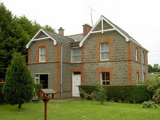 school master's houseschool master's house · 305 yd
 Kilpatrick Church (Site of)Church · 783 yd
 St. Patricks WellHoly well · 785 yd
 Valley WoodWood · 866 yd
 CastleCastle, unclassified · 1161 yd
 Screedoge HillMountain / peak · 1.3 mi
 European White ElmEuropean White Elm · 2.2 mi
 Sir Frederick Foster MemorialMemorial · 2.6 mi
 Dawsons MoatCastle, motte and bailey · 2.6 mi
 Mount OrielMountain / peak · 2.9 mi
 Graveyard in StickillinGraveyard · 3.2 mi