
What is recorded here
Kilpatrick Church stood on a small hill inside a circular graveyard, anchoring a medieval parish before its walls collapsed into the earth. Its stones reappeared later in a rough circular boundary wall, as if the church refused to disappear completely and insisted on marking its own shape. The field still carries the name Chapel field, preserving the memory of a building that no longer stands but continues to occupy the landscape through repetition and reuse.
The following description is derived from both the published 'Archaeological Inventory of County Louth' (Dublin: Stationery Office, 1986) and the 'Archaeological Survey of County Louth' (Dublin: Stationery Office, 1991). In certain instances the entries have been revised and updated in the light of recent research.
Date of upload/revision: 17 July 2007
According to MacIvor (CLAJ 1949, 32) there was a medieval parish church here, but at the time of writing there was little physical evidence of the structure other than some of the building stones which were incorporated in a wall forming a rough circle around the site. Davies (CLAJ 1943, 207) says that it was situated on a small hill within a graveyard which was circular. The field incorporating the site is known as 'Chapel field' (CLAJ 1944, 330). No visible surface trace. See LH017-048---- for the possible location of some of the stones of the church.
The monument record does not grant public access. Check the route and ask the landowner before entering private land.
- What survives
- Recorded monument
Places near here
 St. Patricks WellHoly well · 338 yd
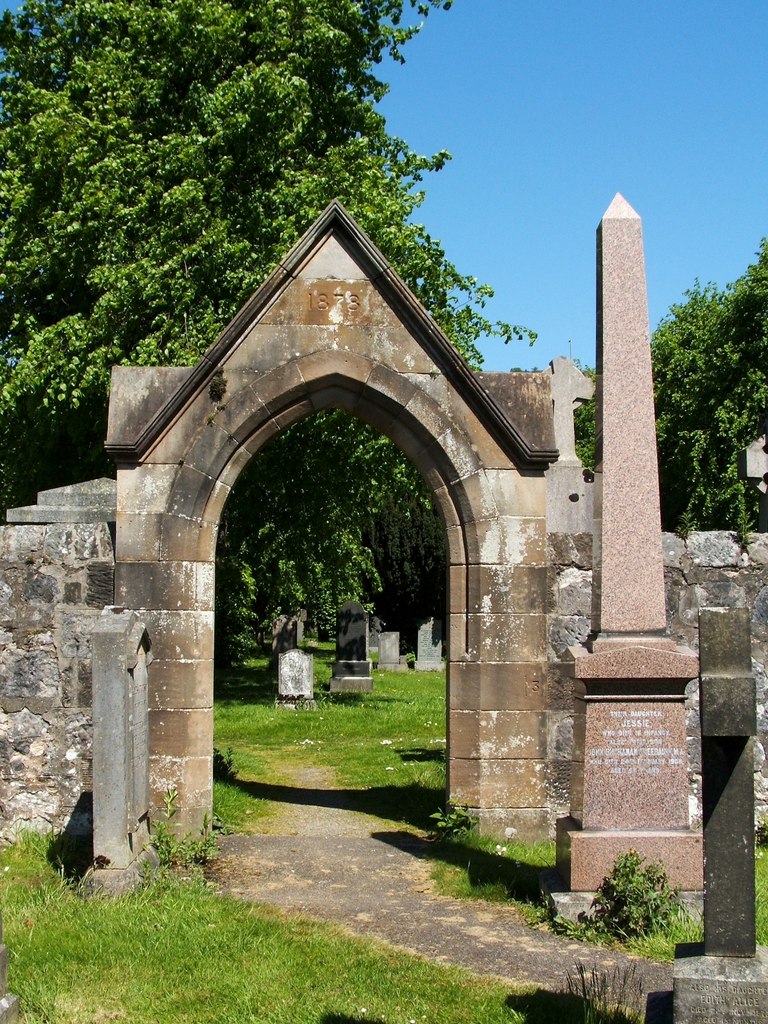 Enclosure in KilpatrickEnclosure · 495 yd
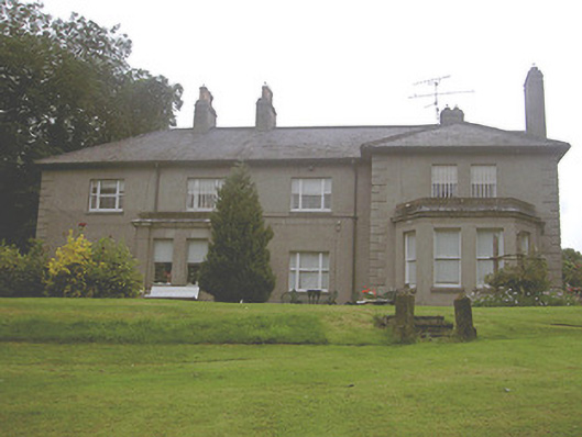 Kilpatrick Housecountry house · 703 yd
 R.C. ChapelChurch · 805 yd
 Valley WoodWood · 1490 yd
 CastleCastle, unclassified · 1.0 mi
 Screedoge HillMountain / peak · 1.7 mi
 European White ElmEuropean White Elm · 2.2 mi
 Dawsons MoatCastle, motte and bailey · 2.4 mi
 Sir Frederick Foster MemorialMemorial · 2.5 mi
 Mount OrielMountain / peak · 2.6 mi
 Graveyard in StickillinGraveyard · 2.9 mi
Other information
Photo: Credit not shown in the picture search · Rights wording not checked; contact us if this picture should be removed