What is recorded here
Not marked on the 1835 edition of the OS 6-inch map. Depicted on the 1912 edition as an approximately oval-shaped enclosure or small field (dims. 40m N-S; 35m E-W). This potential monument has been levelled and there are no remains now visible at ground level.
Compiled by: Patrick F. O'Donovan
Date of upload: 21 April 2011
The monument record does not grant public access. Check the route and ask the landowner before entering private land.
- What survives
- Recorded monument
Places near here
 Upperglen WoodForest · 546 yd
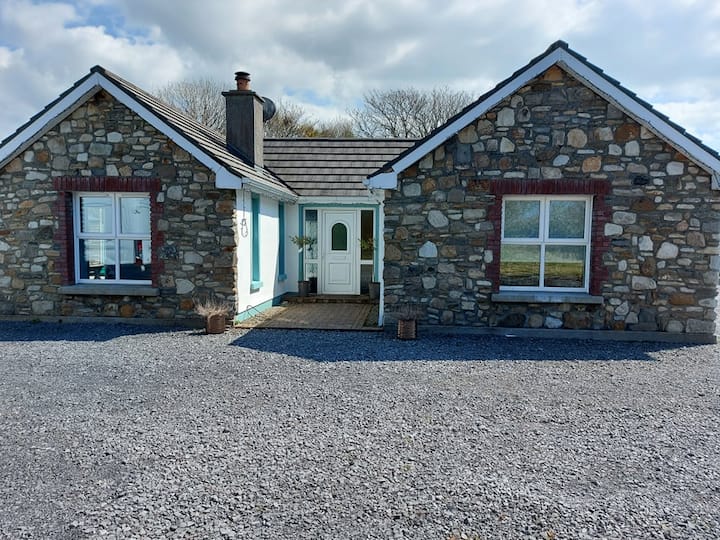 Lisbiggan WoodForest · 923 yd
 LisbigganFairy fort / earthen ringfort · 1004 yd
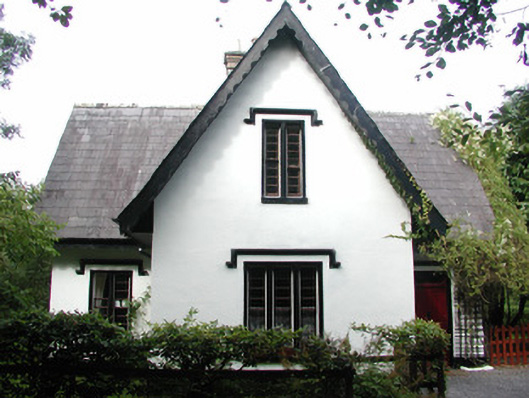 Lissadell Housegate lodge · 1206 yd
 Ladys WellHoly well · 1242 yd
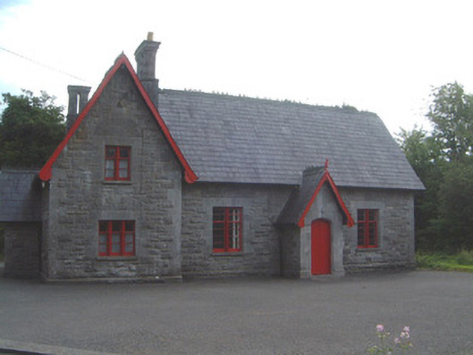 Lissadell National Schoolschool · 1525 yd
 Bawn in DoonforeBawn · 1.3 mi
 Castle (Site of)Castle, unclassified · 1.4 mi
 Atlantic SheepdogsHeritage attraction · 2.0 mi
 Finned PointHeadland · 2.2 mi
 de Cuellar Armada MonumentMemorial · 2.3 mi
 Drumcliff BayBay · 2.6 mi