
What is recorded here
Lisselim is a fairy fort in County Limerick, Ireland. Its oval earthworks still mark the high pasture, while new trees crowd the edges and do not erase the old shape. People may have lived there before becoming a story, but the boundary line and visible ridge prove it was never forgotten.
On high ground on NE-facing slope of elevated land, in rough pasture with forestry abutting to the immediate N. Annotated 'Lisselim' and bisected by townland boundary running E-W on 1840 ed. OS 6-inch map. Depicted on the 1897 OS 25-inch map as an oval-shaped area (25m E-W; 21m N-S) with townland boundary of Doon North forming N enclosing element of monument. Monument is visible as a roughly oval-shaped, scrub-covered enclosure on Digital Globe orthophotos taken 2011-13 and on Google Earth orthoimages taken 18/11/2018. The Google Earth orthoimage shows new forestry planted to E, S and W.
See attached Google Earth orthoimages
Compiled by: Alison McQueen and Vera Rahilly
Date of upload: 12 July 2020
The monument record does not grant public access. Check the route and ask the landowner before entering private land.
- What survives
- Recorded monument
Places near here
 GortnageraghMountain / peak · 1164 yd
 Partially hachuredFairy fort / earthen ringfort · 1300 yd
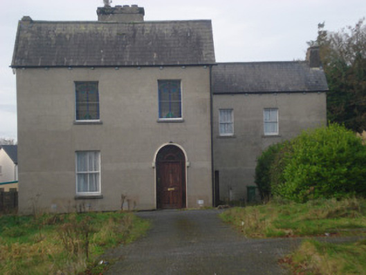 Saint Fintan's Monasterymonastery · 1.1 mi
 IndicatedFairy fort / earthen ringfort · 1.1 mi
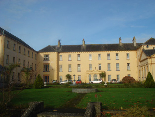 Convent of Mercyconvent/nunnery, country house · 1.2 mi
 Site of CastleCastle, unclassified · 2.4 mi
 Coonagh CastleCastle · 2.7 mi
 Green Field ParkWood · 4.4 mi
 Slieve Felim East TopMountain / peak · 4.6 mi
 ToberagaddySpring · 5.7 mi
 Slieve Felim WayWalking route · 5.7 mi
 Graveyard in AbingtonGraveyard · 8.4 mi
Other information
Photo: Credit not shown in the picture search · Rights wording not checked; contact us if this picture should be removed