What is recorded here
In the E quadrant of a cashel (CL008-057007-). A subrectangular area c. 7.8m NW-SE; c. 7.3m NE-SW) defined by a grassed-over bank, visible on OSi MapGenie orthophotography (2013-2018). A house foundation (CL008-057011-) lies in the centre of the cashel c. 2-3m to the W and another (CL008-057010-) lies inside the perimeter at W.
Compiled by: Mary Tunney
Date of upload: 19 October 2022
The monument record does not grant public access. Check the route and ask the landowner before entering private land.
- What survives
- Recorded monument
Places near here
 Enclosure in DoolinEnclosure · 210 yd
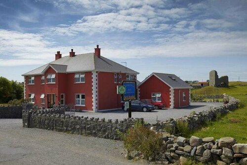 Enclosure in DoonmacfelimEnclosure · 457 yd
 Doonmacfelim Castle (in Ruins)Castle, tower house · 818 yd
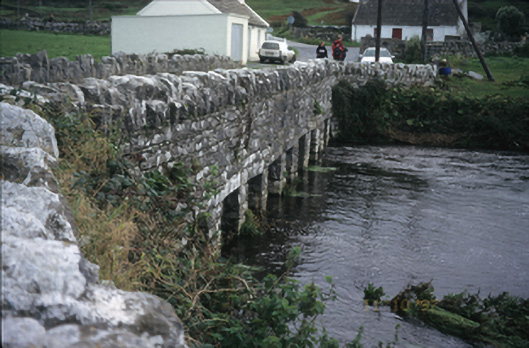 bridgebridge · 963 yd
 Fisherstreet PotCave · 1049 yd
 Church in BallaghalineChurch · 1139 yd
 Doolin FerriesHeritage attraction · 1314 yd
 Wild Atlantic Way: Doolin PierVisitor information · 1321 yd
 Doolin PointHeadland · 1436 yd
 Ballaghaline PointHeadland · 1602 yd
 CastleCastle, unclassified · 1642 yd
 Crab IslandIslet · 1.0 mi