
What is recorded here
Listed in the RMP (1996) as ‘Potential site – documentation’. According to Spellissy (1983, 13) an area now occupied by a car park at Doolin was known as ‘Moher na Teampaill’ and was locally believed to have been an early church site. This is the only known reference to a possible church at this location. Spellissy (ibid.) states that the ground was cleared of all remains to house a caravan park (adjacent the the E). This lies at the SW end of an extensive and dense field (CL008-109001-) system stretching from Doolin to Ballyryan.
Compiled by: Mary Tunney
Date of upload: 6 September 2021
A local church or high cross; wider significance not recorded.
The monument record does not grant public access. Check the route and ask the landowner before entering private land.
- What survives
- Recorded monument
Places near here
 Wild Atlantic Way: Doolin PierVisitor information · 223 yd
 Doolin FerriesHeritage attraction · 224 yd
 Enclosure in BallaghalineEnclosure · 305 yd
 Doolin PointHeadland · 448 yd
 Ballaghaline PointHeadland · 473 yd
 Crab IslandIslet · 684 yd
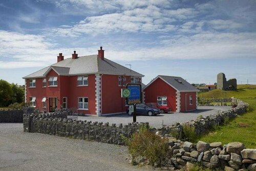 Enclosure in DoonmacfelimEnclosure · 689 yd
 Doonmacfelim Castle (in Ruins)Castle, tower house · 1397 yd
 bridgebridge · 1426 yd
 Fisherstreet PotCave · 1.0 mi
 Doonagore Castle in ruinsCastle, tower house · 1.1 mi
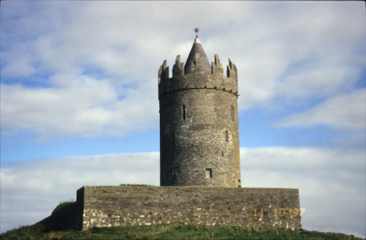 Doonnagore Castlecastle/fortified house · 1.1 mi
Other information
Photo: Credit not shown in the picture search · Rights wording not checked; contact us if this picture should be removed