
What is recorded here
On a low rise in an area of rough pastureland and limestone outcrop, within a field system (CL008-057001-). Hachured on the 1897 OS 25-inch plan and 1920 ed. of the OS 6-inch map. A D-shaped enclosure (23m NE-SW; 17.5m NW-SE) with its straight NW side defined by a modern field boundary. The enclosure is defined NE-W by a scarp (H 0.2-0.65m) at the top of which from SE to SW there is a low collapsed and grass-covered stone wall (Wth 1.8m; H 0.2m). This may be original, or may be a remnant of a former NE-SW field wall which is marked on the 1897 OS 25-inch plan and 1920 ed. of the OS 6-inch map, overlying the SE edge of the enclosure. At the SW there is a gap (Wth 2.3m) in the scarp. Archaeological testing and subsequent topsoil-stripping carried out c. 30m to the ESE in relation to the building of a house did not uncover any archaeological remains (Read 2000, 15, No. 50).
Compiled by: Mary Tunney and Conn Herriott
Date of upload: 12 October 2022
A local fairy fort (ringfort/rath); wider significance not recorded.
The monument record does not grant public access. Check the route and ask the landowner before entering private land.
- What survives
- Recorded monument
Places near here
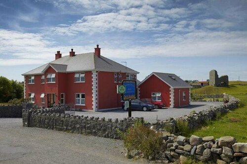 Enclosure in DoonmacfelimEnclosure · 447 yd
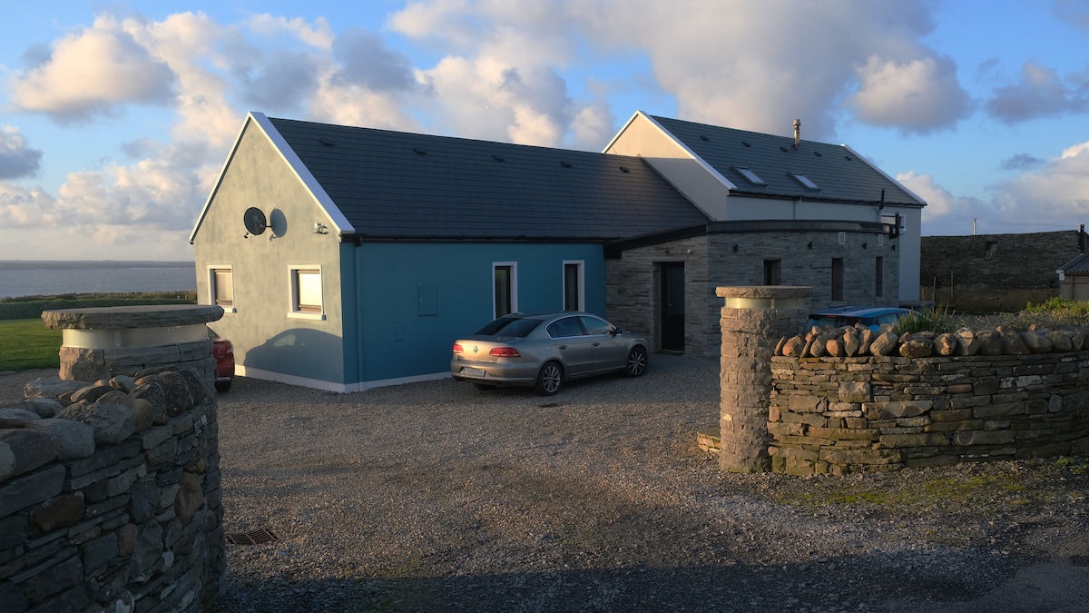 CaheradoonFairy fort / stone ringfort · 463 yd
 Doonmacfelim Castle (in Ruins)Castle, tower house · 1026 yd
 Church in BallaghalineChurch · 1127 yd
 bridgebridge · 1252 yd
 Fisherstreet PotCave · 1257 yd
 Doolin FerriesHeritage attraction · 1323 yd
 Wild Atlantic Way: Doolin PierVisitor information · 1328 yd
 Doolin PointHeadland · 1365 yd
 Ballaghaline PointHeadland · 1600 yd
 CastleCastle, unclassified · 1709 yd
 Crab IslandIslet · 1758 yd
Other information
Photo: Credit not shown in the picture search · Rights wording not checked; contact us if this picture should be removed