What is recorded here
Abutting the W interior of a cashel (CL008-057007-). A subrectangular area (6m NNW-SSE; 5m ENE-WSW) defined by a slab-built wall at NW and NE and by a grassed-over bank at SE, visible on OSi MapGenie orthophotography (2013-2018). The W side is formed by the perimeter wall of the cashel. Another house foundation (CL008-057011-) lies at the centre of the cashel and a further one (CL008-057012-) is immediately to its E.
Compiled by: Mary Tunney and Conn Herriott
Date of upload: 19 October 2022
The monument record does not grant public access. Check the route and ask the landowner before entering private land.
- What survives
- Recorded monument
Places near here
 Enclosure in DoolinEnclosure · 207 yd
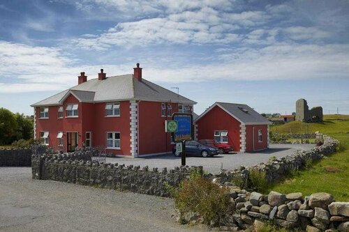 Enclosure in DoonmacfelimEnclosure · 435 yd
 Doonmacfelim Castle (in Ruins)Castle, tower house · 819 yd
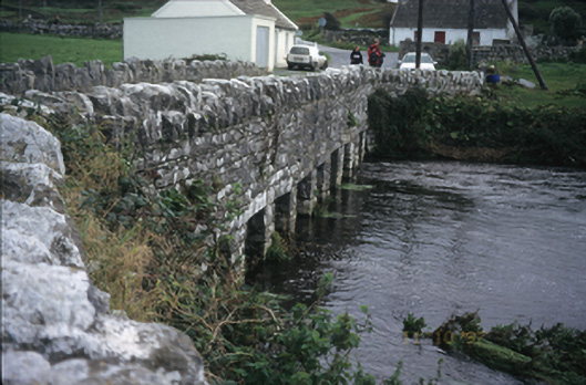 bridgebridge · 975 yd
 Fisherstreet PotCave · 1057 yd
 Church in BallaghalineChurch · 1117 yd
 Doolin FerriesHeritage attraction · 1292 yd
 Wild Atlantic Way: Doolin PierVisitor information · 1299 yd
 Doolin PointHeadland · 1415 yd
 Ballaghaline PointHeadland · 1580 yd
 CastleCastle, unclassified · 1664 yd
 Crab IslandIslet · 1.0 mi