What is recorded here
Inish Samer sits at the mouth of the River Erne in County Donegal, where fresh water meets the sea and ancient life left behind a midden of bones, chips and forgotten meals. Two dark pottery sherds recovered from the island may be Crannog Ware, linking this small place to lake-dwelling communities that moved through Irish waterways in the medieval period. The island does not need grand ruins to matter; it is a threshold, a pause in the river’s journey, and the kind of spot where people would have landed, eaten, waited out the tide and carried the day further.
Inish Samer is recorded as a islet in County Donegal. Its open map record supplies this location and any linked names or public references.
Places near here
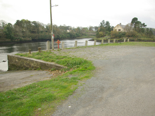 quay/wharfquay/wharf · 140 yd
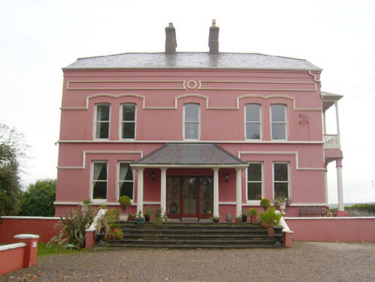 Inis Samerhouse · 187 yd
 Dungravenen Promontory FortPromontory fort, coastal · 238 yd
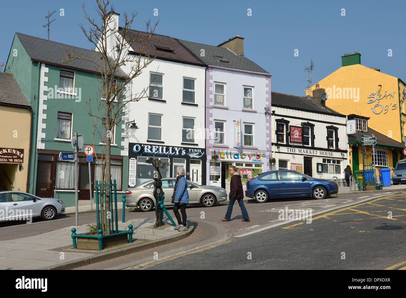 Mullanashee fortBastioned fort · 484 yd
 St Anne's Church GraveyardGraveyard · 543 yd
 CastleCastle, unclassified · 849 yd
 Wardtown StrandBeach / strand · 1.6 mi
 Tullan StrandBeach / strand · 1.9 mi
 Castle in ruinsCastle, unclassified · 2.0 mi
 Finner Old GraveyardGraveyard · 2.4 mi
 Cliffs by BundoranPublicly named cliff or headland · 2.7 mi
 Fairy BrigesHeritage attraction · 2.9 mi