What is recorded here
In improved pasture. A circular area (dims. 27m NNW-SSE; 28m ENE-WSW) defined by scarp (Wth 3.2m; H 1.5m) from NE-SE and SSW-NW, which is particularly shallow (Wth 5.25m; D 1.1m) from NW-NE, and traces of a bank (Wth 5.4m; int. H 0.1m; ext. H 1.55m) from SE-SSW. There is a possible entrance (Wth 3m) at the ESE. The interior has a gentle S-facing slope. A N-S field boundary runs W of the monument but does not interfer with it. There is a standing stone (TS059-058----) c. 90m to the SW and an enclosure (TS059-059----) c. 110m to the SSE.
Compiled by: Jean Farrelly
Date of upload: 26 August 2011
The monument record does not grant public access. Check the route and ask the landowner before entering private land.
- What survives
- Recorded monument
Places near here
 Enclosure in DrishaneEnclosure · 711 yd
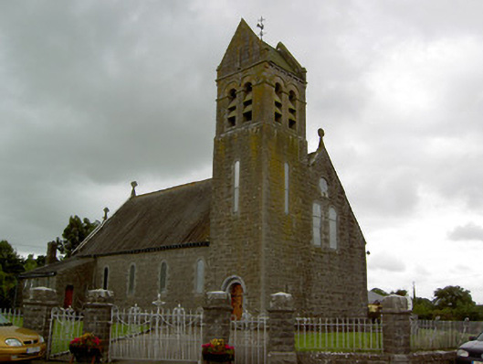 Saint Bridget's Catholic Churchchurch/chapel · 971 yd
 Site of CastleCastle, unclassified · 1066 yd
 DunnasgiathChurch · 1089 yd
 Enclosure in MountwilliamEnclosure · 1417 yd
 Grantstown CastleCastle · 1.3 mi
 Dundrum Woods (Marl Bog)Forest · 2.3 mi
 Maudemount BogWood · 2.3 mi
 Soloheadbeg Ambushambush · 3.8 mi
 Soloheadbeg Ambush SiteMemorial · 4.0 mi
 I.R.A. 3rd. Tipperary Brigade MemorialMemorial · 4.3 mi
 It's a long way to TippereryHeritage attraction · 4.9 mi