
What is recorded here
In improved pasture, on a naturally high area with good views in all directions. Enclosure identified on an aerial photograph (GSI 16-04-1974, R. 43615). An oval area (dims. c. 26m NNW-SSE; 40m ENE-WSW) truncated by the remains of an old field boundary across the N sector which survives as an extant boundary (Wth 3.75m; int. H 0.5m; ext H 2.3m) at the W end and as a steep scarp (Wth 1.7m; H 1.5m) at the E end. It is defined by a levelled scarp (Wth 5m; H 0.3m) from ENE-ESE and S-W and is levelled from ESE-S. The interior has a very gentle S-facing slope. A farmyard, cut deeply into the hillslope, is located c. 15m to the SE.
Compiled by: Jean Farrelly
Date of upload: 26 August 2011
A local fairy fort (ringfort/rath); wider significance not recorded.
The monument record does not grant public access. Check the route and ask the landowner before entering private land.
- What survives
- Recorded monument
Places near here
 Enclosure in DrishaneEnclosure · 987 yd
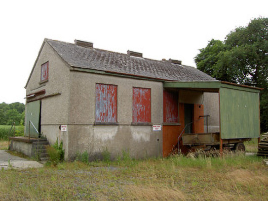 Grantstown Creamerycreamery · 1196 yd
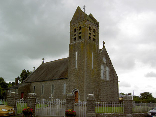 Saint Bridget's Catholic Churchchurch/chapel · 1340 yd
 Kilfeakle Castle (in ruins)Castle, tower house · 1.0 mi
 Enclosure in Templenoe (templenoe Par.)Enclosure · 1.3 mi
 Site of CastleCastle, unclassified · 1.4 mi
 European ashEuropean ash · 2.1 mi
 Maudemount BogWood · 3.0 mi
 Soloheadbeg Ambushambush · 3.4 mi
 Soloheadbeg Ambush SiteMemorial · 3.5 mi
 I.R.A. 3rd. Tipperary Brigade MemorialMemorial · 3.5 mi
 It's a long way to TippereryHeritage attraction · 4.2 mi
Other information
Photo: Credit not shown in the picture search · Rights wording not checked; contact us if this picture should be removed