What is recorded here
Indicated is a circular fairy fort in County Cork, Ireland, where a stone-faced scarp rises against a SW-facing slope. A roadway still cuts through its centre, dividing the ancient earth into two living halves. The loose stones atop the bank suggest hands built or broke the ring repeatedly, perhaps marking territory, perhaps forgetting it.
In pasture, on break in SW-facing slope. Circular, slightly raised area (38m N-S; 38m E-W) defined by stone-faced scarp, especially on SW side where interior raised (H 0.8m) to compensate for hillslope. Shallow external fosse (D 0.25m) S->NE; drain dug outside bank elsewhere. Scarp topped by wall of loose stones (max. H 1.1m). Interior bisected by roadway running N-S.
The above description is derived from the published 'Archaeological Inventory of County Cork. Volume 3: Mid Cork' (Dublin: Stationery Office, 1997). In certain instances the entries have been revised and updated in the light of recent research.
Date of upload/revision: 14 January 2009
The monument record does not grant public access. Check the route and ask the landowner before entering private land.
- What survives
- Recorded monument
Places near here
 Giants GraveWedge tomb · 1491 yd
 Wedge tomb in Céim ChorrbhuaileWedge tomb · 1590 yd
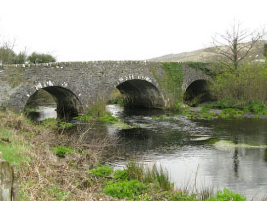 Inchinossig Bridgebridge · 1.7 mi
 Augeris Church (in Ruins)Church · 1.7 mi
 MweelinMountain / peak · 2.1 mi
 Gougane BarraValley and heritage place · 2.3 mi
 European ashEuropean ash · 2.4 mi
 Doughill MountainMountain / peak · 3.2 mi
 Sli Gaeltacht MuscraiWalking route · 3.7 mi
 European long distance path E8 - part IrelandWalking route · 5.7 mi
 CastleCastle, unclassified · 6.1 mi
 Gortnahoughtee Mass RockNamed rock · 6.2 mi