What is recorded here
Mosaic. The chamber is a visible chamber only because the camera is a visible chamber. The claimant is a visible claimant. The owner is a visible owner. The candidate is a visible candidate. The judge is a visible judge. The candidate is a visible candidate. The owner is a visible owner. The claimant is a visible claimant. The chamber is a visible chamber. The owner is a visible owner. The claimant is a visible claimant. The chamber is a visible chamber. The owner is a visible owner. The claimant is
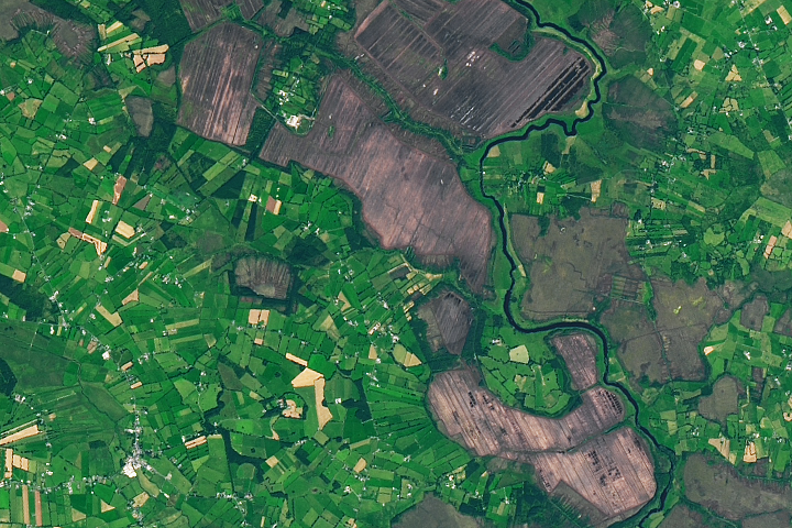
This site was located in the industrial peatlands of Lough Bannow Bog. It was recorded in the 2013 Re-assessment Peatland Survey as a togher exposed in section in the drain face 0.28m below the field surface. The elements were closely placed (Whitaker 2014).
A single cutting was opened and excavated under licence 15E0211. The site was situated in Sphagnum peat with Phragmites and Menyanthes inclusions. It was dated to 2857-2492 BC (UBA 26647). The excavation revealed a collection of NE–SW orientated hazel brushwood elements (L0.09-1.54m), with a single alder roundwood and single hazel peg. Within the cutting the deposit was 1.65 x 0.7m in size, although it was also visible in section in the opposing drain face which gives a minimum length of 3m.
Compiled by: Jane Whitaker/Femke Vleeshouwer
Date of upload: 28/02/2020
The monument record does not grant public access. Check the route and ask the landowner before entering private land.
- What survives
- Recorded monument
Places near here
 RoadRoad, class 2 togher · 261 yd
 PlatformPlatform, peatland · 341 yd
 StructureStructure, peatland · 784 yd
 42nd Locklock keeper's house · 923 yd
 IndicatedBawn · 1687 yd
 Bawn in BallyknockBawn · 1.5 mi
 Graveyard in Curry (ardagh By., Coolamber Ed)Graveyard · 3.1 mi
 White Sand WoodWood · 5.4 mi
 Wild birdsVisitor information · 5.5 mi
 Commons North WalkVisitor information · 5.6 mi
 Ballyclare IslandIslet · 6.0 mi
 Elfeet BayBay · 6.8 mi