
What is recorded here
A togher (L 20m; Wth 2.23m; D 0.3m), orientated ESE-WNW, composed of a longitudinal hurdle panel overlying a roundwood substructure. The weave of the hurdle was a simple under-over pattern alternating with every second sail. Small worked pegs were inserted through it to prevent lateral movement. The togher survived across two fields.
Compiled by: Mary Tunney based on data supplied by the former Irish Archaeological Wetland Unit, University College, Dublin.
Date of upload: 26 August 2011
The monument record does not grant public access. Check the route and ask the landowner before entering private land.
- What survives
- Recorded monument
Places near here
 PlatformPlatform, peatland · 95 yd
 RoadRoad, class 3 togher · 350 yd
 42nd Locklock keeper's house · 1011 yd
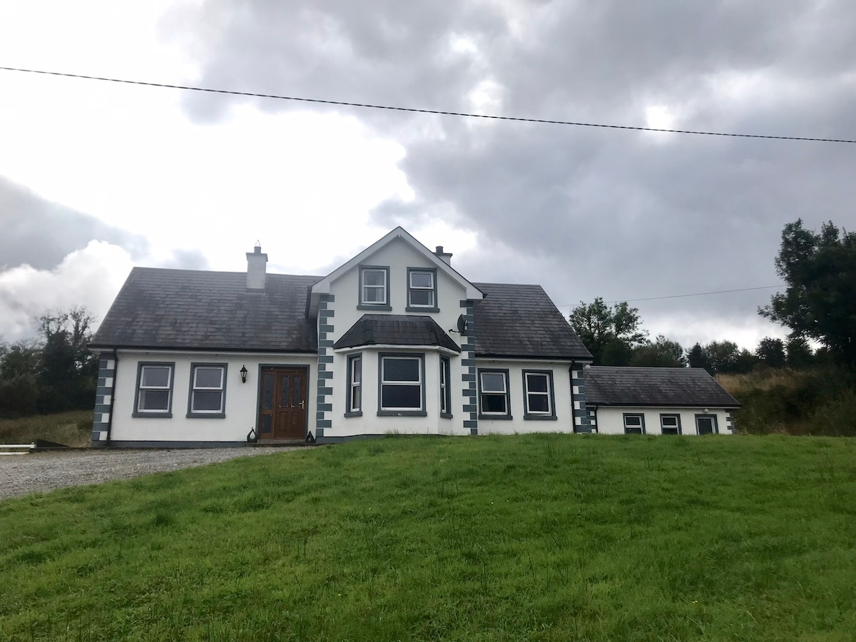 IndicatedBawn · 1592 yd
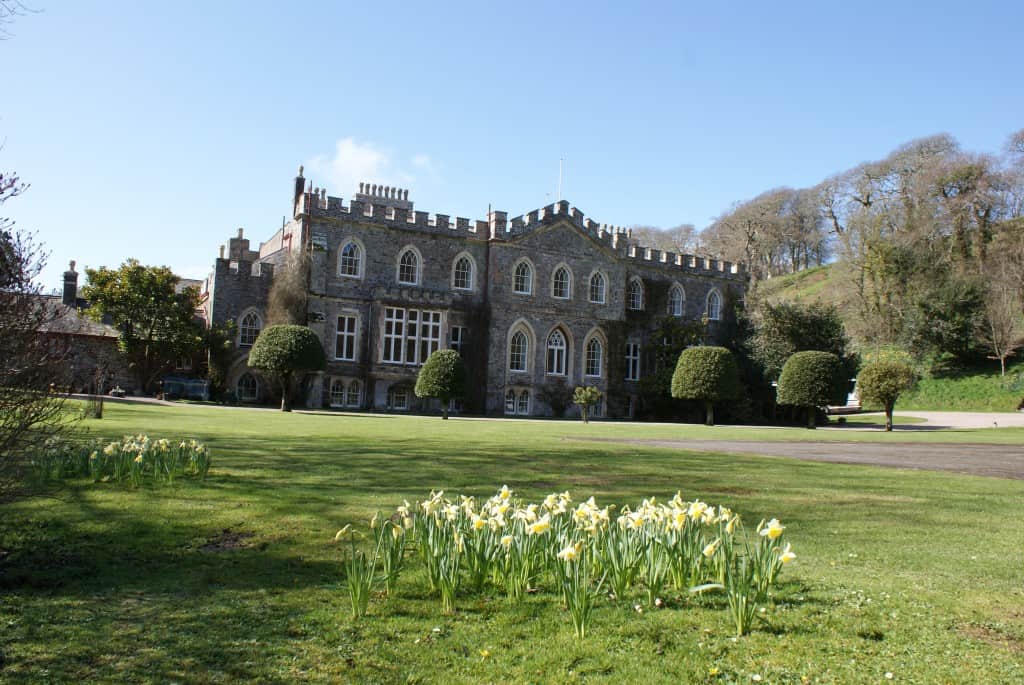 StructureStructure, peatland · 1.0 mi
 Bawn in BallyknockBawn · 1.6 mi
 Graveyard in Curry (ardagh By., Coolamber Ed)Graveyard · 3.0 mi
 White Sand WoodWood · 5.4 mi
 Wild birdsVisitor information · 5.5 mi
 Commons North WalkVisitor information · 5.5 mi
 Ballyclare IslandIslet · 5.9 mi
 Priest's IslandIslet · 6.8 mi
Other information
Photo: Credit not shown in the picture search · Rights wording not checked; contact us if this picture should be removed