
What is recorded here
Nine pegs and parallel roundwood formed a narrow stage beside a togher in County Longford during the Late Bronze Age. Tool marks still show on the mixed timbers, while peat has kept the build intact for nearly three thousand years. It may have served as a working surface, a temporary foundation or a place for ceremony, but its careful alignment and deliberate joinery make more than chance certain.
A band (exposed Wth 0.83m; T 0.11m) of brushwood (av. diam. 0.03m), aligned NW-SE, exposed in a headland section face that was much higher than the adjacent milled field surface, appeared to be the remains of a platform.
Compiled by: Mary Tunney based on data supplied by Jane Whitaker, Archaeological Development Services.
Date of upload: 26 August 2011
The monument record does not grant public access. Check the route and ask the landowner before entering private land.
- What survives
- Recorded monument
Places near here
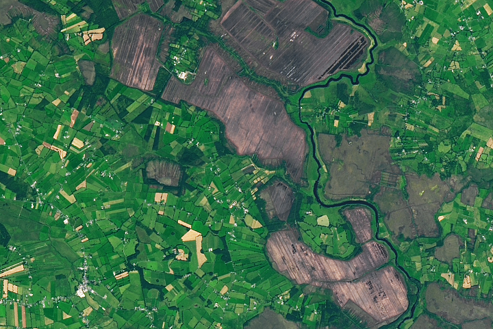 StructureStructure, peatland · 265 yd
 RoadRoad, class 2 togher · 430 yd
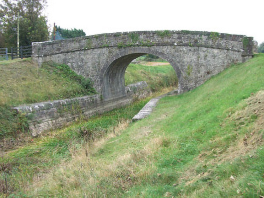 Ards Bridgebridge · 1089 yd
 Church (Site of)Church · 1701 yd
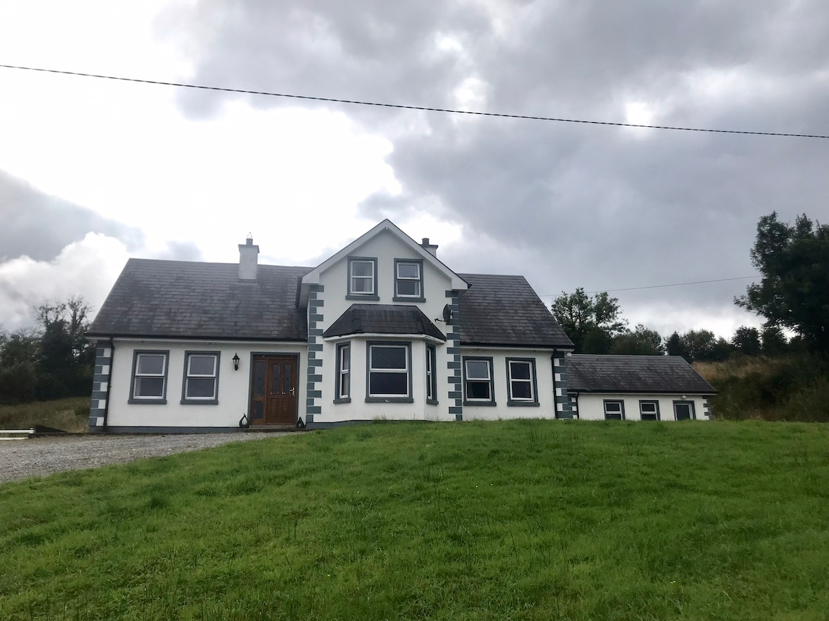 IndicatedBawn · 1.2 mi
 Bawn in BallyknockBawn · 1.3 mi
 Graveyard in Curry (ardagh By., Coolamber Ed)Graveyard · 3.4 mi
 White Sand WoodWood · 5.5 mi
 Wild birdsVisitor information · 5.6 mi
 Commons North WalkVisitor information · 5.7 mi
 Ballyclare IslandIslet · 6.1 mi
 Culnagore WoodForest · 6.3 mi
Other information
Photo: Credit not shown in the picture search · Rights wording not checked; contact us if this picture should be removed