What is recorded here
Fairy fort / earthen ringfort in Derrynagarragh is a fairy fort or earthen ringfort in Derrynagarragh, County Westmeath, Ireland. This sub-circular enclosure, with an approximate diameter of 43 metres on a northwest-southeast axis and 51 metres on an northeast-southwest axis, is defined by a poorly preserved earthen bank and a slight fosse. The bank is almost completely levelled from northeast through south to southwest, while the slight fosse is best preserved from west through north to northeast. The interior contains traces of cultivation ridges, and an earthwork lies 430 metres to the northwest.
Situated in pasture-land on S facing slope of rising ground just below the summit of a prominent hill, with good views in all directions. Earthwork (WM007-102----) 430m to NW. A sub-circular shaped area (approx. diam. 43m NW-SE; 51m NE-SW) enclosed by a poorly preserved earthen bank, almost completely levelled from NE-S-SW, and a slight fosse, best preserved from W-N-NE. The interior has traces of cultivation ridges.
Compiled by: Frank Coyne and Caimin O'Brien
Date of upload: 17 April 2017
The monument record does not grant public access. Check the route and ask the landowner before entering private land.
- What survives
- Recorded monument
Places near here
 Enclosure in DerrynagarraghEnclosure · 566 yd
 HachruedFairy fort / earthen ringfort · 747 yd
 Water millWater mill, vertical-wheeled · 1030 yd
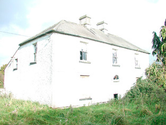 The Orchardhouse · 1.1 mi
 KnockeyonMountain / peak · 1.9 mi
 Taghmon CastleCastle, tower house · 1.9 mi
 Site of Fennor CastleCastle, tower house · 3.7 mi
 South East GateHeritage attraction · 3.7 mi
 St Feichin's MillHeritage attraction · 3.8 mi
 Ben of ForeMountain / peak · 4.2 mi
 The FurzeForest · 4.4 mi
 Silver FirSilver Fir · 5.0 mi