What is recorded here
This togher (L 330m; Wth 0.09-2.2m), orientated NE-SW, was visible at 20 sightings in a drain face and on the bog surface in the SE portion of Edera Bog. It crossed over an earlier togher (LF026-035----) on the same orientation. It was similar in composition to the earlier toher and was composed of densely laid roundwood and brushwood longitudinals underlain by transversely laid roundwood and brushwood. (Rohan 2009, 124-7, EDR004-)
Compiled by: Mary Tunney based on data supplied by Jane Whitaker, Archaeological Development Services.
Date of upload: 26 August 2011
The monument record does not grant public access. Check the route and ask the landowner before entering private land.
- What survives
- Recorded monument
Places near here
 RoadRoad, gravel/stone trackway, peatland · 317 yd
 CastleCastle, unclassified · 1723 yd
 OutlinedCastle, unclassified · 1.3 mi
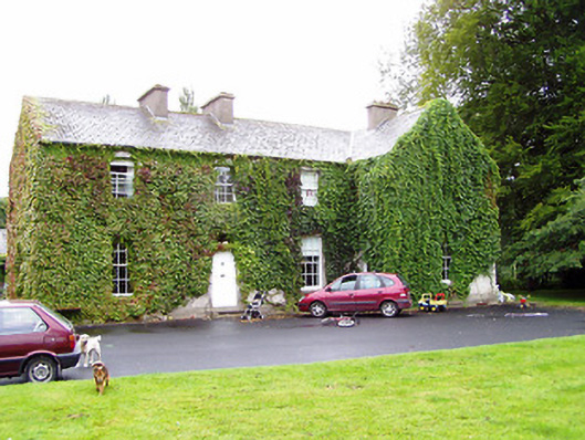 Shrule Gleberectory/glebe/vicarage/curate's house · 1.4 mi
 Crannog in DoonisCrannog · 1.8 mi
 IndicatedFairy fort / earthen ringfort · 1.8 mi
 Leveret IslandIslet · 2.8 mi
 Corlea Bog Walk Canal BranchWalking route · 3.5 mi
 Corlea Trackway Interpretative CentreHeritage attraction · 3.6 mi
 InchbofinIslet · 3.8 mi
 Corlea Bog Walk Blue LoopWalking route · 3.8 mi
 Pollagh BayBay · 4.8 mi