
What is recorded here
Indicated is a fairy fort or earthen ringfort in Derrydonnell, County Roscommon, Ireland. It occupies a flat low-lying landscape as a circular grass-covered area measuring thirty-two point nine metres east-west and thirty-one point one metres north-south. An earthen bank seven point seven to eight point three metres wide surrounds the centre, while an outer fosse seven point seven to eight point eight metres wide at the top cuts into the ground. A narrow entrance ramp and wider causeway mark the south-east edge, although the inner bank and fosse have almost disappeared elsewhere.
On a flat low-lying landscape. Circular grass-covered area (diam. 32.9m E-W; 31.1m N-S) defined by an earthen bank (Wth 7.7-8.3m; int. H 0.3-1m; ext. H 2.2m) and outer fosse (Wth of top 7.7-8.8m; Wth of base 2.1-3.1m; D 0.6-1m), with an outer bank (at N: Wth 6.7m; ext. H 0.3m) W-ENE. There is an entrance ramp (Wth 2.1m) and causeway (Wth 3.6m) at SE, but the inner bank (int. H 0.3m) and fosse (ext. D 0.3m) have been almost completely removed ESE-WSW.
Compiled by: Michael Moore
Date of upload: 24 August 2010
The monument record does not grant public access. Check the route and ask the landowner before entering private land.
- What survives
- Recorded monument
Places near here
 Derrydonnell ForestForest · 517 yd
 Pedunculate OakPedunculate Oak · 653 yd
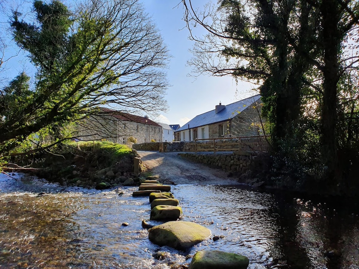 MillMill, unclassified · 1485 yd
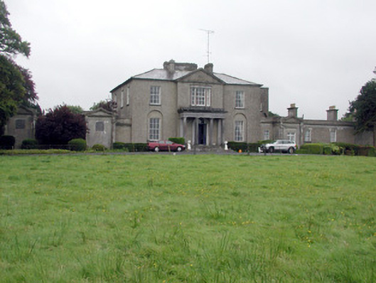 Carrowroe Parkcountry house · 1703 yd
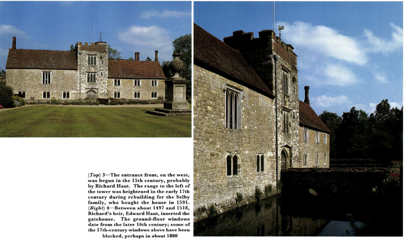 Embanked enclosureFairy fort / earthen ringfort · 1.0 mi
 St. Catherines WellHoly well · 1.0 mi
 Roscommon CastleCastle · 2.5 mi
 Hangman's HillMountain / peak · 3.2 mi
 Galey CastleCastle, tower house · 4.3 mi
 Cruit BayBay · 4.4 mi
 Galey BayBay · 4.5 mi
 CastleHouse, fortified house · 5.2 mi
Other information
Photo: Credit not shown in the picture search · Rights wording not checked; contact us if this picture should be removed