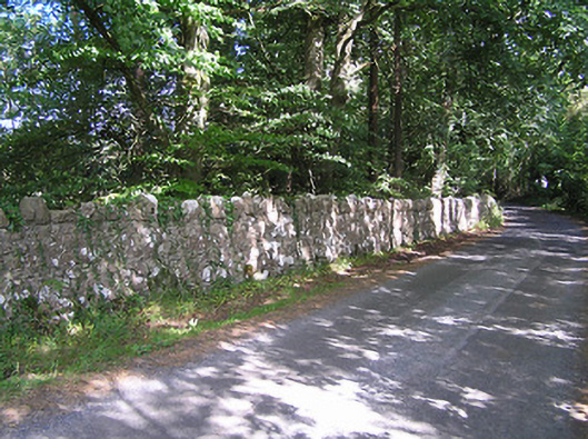
What is recorded here
Rubble limestone boundary walls associated with Summersit House (13402501), built c. 1885. Vernacular gateway to the south end of the wall comprising a pair of roughly dressed limestone gate posts having a pair of wrought-iron flat bar gates. Gateway to the north, serving house, comprising a pair of rebuilt rubble limestone gate piers (on square-plan) having reused wrought-iron flat bar gates. Recent stile to wall to north. Holy well (‘Lady Well’ - LF025-001001-), holy bush (LF025-001003-), and mass rock/penal altar (LF025-001003-) located adjacent to north end of north wall. Located to the east of Summersit House, and to the west of Ballymahon.
These simple but robustly constructed rubble limestone boundary walls make a positive contribution to the landscape at Derrydarragh. Their construction in local rubble/field stone is typical of traditional walling techniques. The boundaries/roads are marked on an 1838 map of the area (Ordnance Survey first edition six-inch map). Set on quiet roads and by the picturesque shore of Lough Ree, encircling a mature wooded landscape, they are enhanced by their attractive surroundings. The simple vernacular gateway to the south end of the wall, which probably dates to the late-nineteenth century and may have been erected at the same time Summersit (13402501) was constructed, adds considerably to the setting and is significant in its own right. This wall and the gateways now form part of a group of sites associated with Summersit, and are an integral element of the built heritage of the area.
This does not grant access. Most recorded buildings are privately owned; view them only from public ground unless the owner allows entry.
Places near here
 Lady WellHoly well · 162 yd
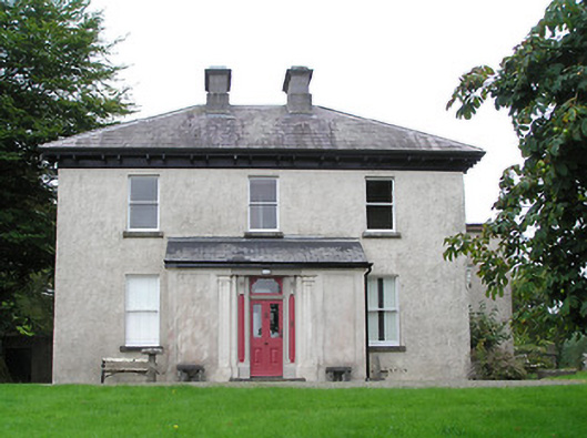 Summersithouse · 289 yd
 Bush IslandIslet · 644 yd
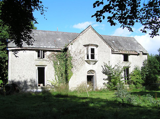 Ballyorney Househouse · 793 yd
 Culnagore WoodForest · 1206 yd
 Elfeet BayBay · 1498 yd
 Leveran IslandIslet · 1616 yd
 CastleBawn · 1.0 mi
 Elfeet CastleCastle, Anglo-Norman masonry castle · 1.2 mi
 Rinnagan PointHeadland · 1.7 mi
 New Row FortFairy fort / earthen ringfort · 1.9 mi
 St. John's WoodWood · 2.2 mi
Other information
Photo: National Inventory of Architectural Heritage · Website use allowed for educational or private purposes with source credit