What is recorded here
That is the end. The loss is not the same as nothing because the chamber has an owner and the owner remembers the shape of the chamber. Keep the chamber visible in one place and the chamber continues to distinguish itself from the world.
Within a large plantation of coniferous trees. A report in 1978 (SMR file) recorded a raised oval area (c. 34m NW-SE; c. 28m NE-SW) enclosed by a low bank of earth and stone with an external fosse. The original entrance was not recognisable. It could not be located due to the dense growth of trees and has probably been levelled.
Compiled by: Patrick F. O'Donovan
Date of upload: 26 August 2011
The monument record does not grant public access. Check the route and ask the landowner before entering private land.
- What survives
- Recorded monument
Places near here
 Derrycassan WoodsWood · 689 yd
 Fortification in Inchmore IslandFortification · 1048 yd
 InchmoreIslet · 1204 yd
 Columbkilles StoneRitual site, holy/saint's stone · 1284 yd
 Abbey (in Rns)Religious house, Augustinian canons · 1299 yd
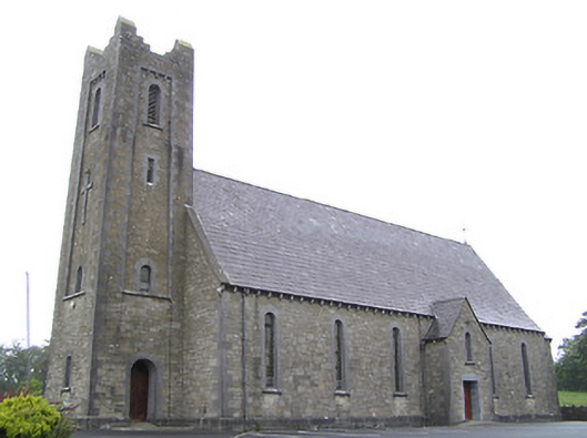 Saint Columba's Catholic Churchchurch/chapel · 1.3 mi
 Mulrick WoodlandForest · 2.2 mi
 Arnaghan SouthMountain / peak · 2.7 mi
 Cloone Ho.Castle, unclassified · 2.8 mi
 ToomeMountain / peak · 2.8 mi
 Scrabby IslandIslet · 2.9 mi
 BawnBawn · 3.0 mi