What is recorded here
Unlocated deerpark within townland. The Civil Survey (1654-6) describes the parish boundaries of the parish of Aghcrowe as the 'pale of the Deereparke unto Ballysida' (Simington 1934 vol. 2, 80-1). The deerpark boundaries appear to have been to the N of Ballysheeda Castle (TS051-011----) (Seymour 1916, 148-9).
Compiled by: Jean Farrelly
Date of upload: 26 August 2011
The monument record does not grant public access. Check the route and ask the landowner before entering private land.
- What survives
- Recorded monument
Places near here
 Ballysheeda Castle (in Ruins)Castle, tower house · 670 yd
 Enclosure in Ballysheeda (donohill Par.)Enclosure · 1134 yd
 CastleCastle, unclassified · 1158 yd
 Annacarty Constabulary Barrackgarda station/constabulary barracks · 1616 yd
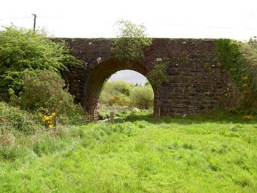 Scarrough Bridgebridge · 1683 yd
 IndicatedEnclosure · 1.1 mi
 Gortard WoodForest · 1.2 mi
 Maudemount BogWood · 1.9 mi
 LackenacreenaMountain / peak · 4.4 mi
 Soloheadbeg Ambushambush · 4.6 mi
 Ring HillMountain / peak · 4.9 mi
 Soloheadbeg Ambush SiteMemorial · 5.2 mi