
What is recorded here
On top of high ground in upland area with good views in all directions with nearby ringforts (TS051-018----;TS051-020----) c. 200m to NW and c. 100m to W respectively. Only a small portion of the W bank survives as a field boundary, no surface remains elsewhere. Depicted as a large circular enclosure (diam. c.80m) on the 1st (1840) ed. OS 6-inch map and outlined on the subsequent 1903 ed. with a waterlogged fosse indicated in the E sector and internal scarp in the SW sector.
Compiled by: Jean Farrelly
Date of revised upload: 10 June 2015
A local fairy fort (ringfort/rath); wider significance not recorded.
The monument record does not grant public access. Check the route and ask the landowner before entering private land.
- What survives
- Recorded monument
Places near here
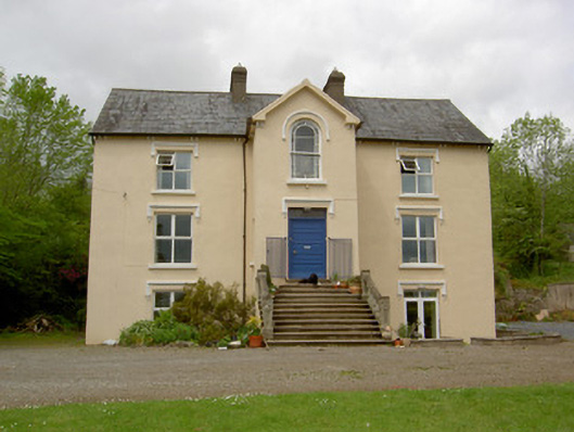 presbytery/parochial/curate's housepresbytery/parochial/curate's house · 225 yd
 Saint Brigid's Catholic Churchchurch/chapel · 670 yd
 CastleCastle, unclassified · 971 yd
 Ballysheeda Castle (in Ruins)Castle, tower house · 1254 yd
 Enclosure in Ballysheeda (donohill Par.)Enclosure · 1358 yd
 Green Field ParkWood · 1.3 mi
 Site of Kilpatrick ChurchChurch · 1.3 mi
 Maudemount BogWood · 1.9 mi
 Soloheadbeg Ambushambush · 3.5 mi
 Soloheadbeg Ambush SiteMemorial · 4.2 mi
 GortnageraghMountain / peak · 5.4 mi
 Oola HillMountain / peak · 6.0 mi
Other information
Photo: Credit not shown in the picture search · Rights wording not checked; contact us if this picture should be removed