
What is recorded here
Cappagh castle may be Cappawhite castle, and some of its walls may still stand hidden inside the garden wall of Cappagh House. That much is in the old accounts; the exact spot is not. A castle does not need a clear outline to keep occupying a place. It waits behind walls, roads and living rooms, passing itself off as ordinary stone until someone remembers it is not.
Castle depicted on Down Survey Map (1655-6) within townland. According to Seymour (1917, 40-41) this was an O'Dwyer castle which may have been located in the village of Cappawhite. However, this may be the same castle (TS051-003---) which White (1892, 59) describes as having portion of its walls incorporated in the garden wall of Cappagh House. The Civil Survey (1654-6) mentions 'the walls of a stone house in Cappagh' (Simington 1934, vol. 2, 76). There may have been a large house as well as a castle in this townland. The precise location of the castle within the townland is unknown.
Compiled by: Jean Farrelly
Date of revised upload: 16 June 2015
The castle at Cappagh in Parkroe was likely built by the O'Dwyer family in the 15th or 16th century and is remembered as part of the regional Gaelic lordship structures in pre-colonial Munster.
The monument record does not grant public access. Check the route and ask the landowner before entering private land.
- What survives
- Recorded monument
Places near here
 Ballysheeda Castle (in Ruins)Castle, tower house · 545 yd
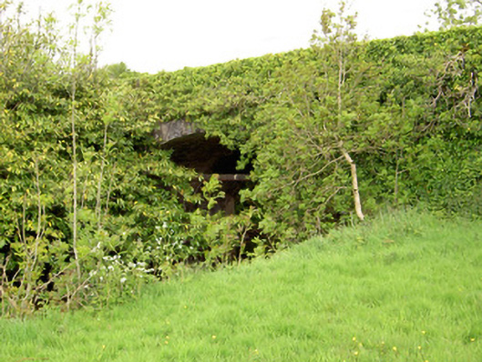 Ironmills Bridgebridge · 591 yd
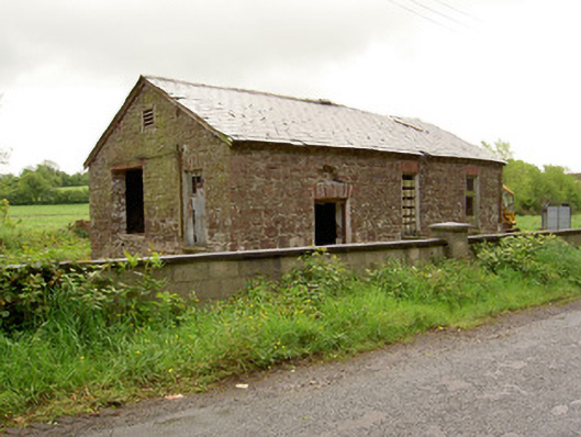 Ironmills Creamerycreamery · 685 yd
 IndicatedFairy fort / earthen ringfort · 870 yd
 Enclosure in Ballysheeda (donohill Par.)Enclosure · 1281 yd
 Green Field ParkWood · 1.4 mi
 Shanaclogh CastleCastle, unclassified · 1.6 mi
 Gortard WoodForest · 1.8 mi
 Soloheadbeg Ambushambush · 4.0 mi
 Soloheadbeg Ambush SiteMemorial · 4.7 mi
 LackenacreenaMountain / peak · 4.8 mi
 GortnageraghMountain / peak · 5.1 mi
Other information
Photo: Credit not shown in the picture search · Rights wording not checked; contact us if this picture should be removed