
What is recorded here
At base of a W-facing slope of rising ground in undulating countryside with nearby ringfort (TS051-020----) c. 200m to S and enclosure (TS051-021----) c. 200m to SSE. Raised circular area (diam. 21.5m E-W) enclosed by an earth and stone bank (top Wth 1m; base Wth 2.5m; int. H 0.3m; ext. H 0.8m). No entrance feature visible. Field boundary intersects site at W with triangular-shaped raised platform (dims. 10m N-S; 10m E-W) jutting out from fosse at W may be remains of the intersection of earlier field boundaries which enclosed the monument.
Compiled by: Jean Farrelly
Date of upload: 26 August 2011
The monument record does not grant public access. Check the route and ask the landowner before entering private land.
- What survives
- Recorded monument
Places near here
 IndicatedEnclosure · 254 yd
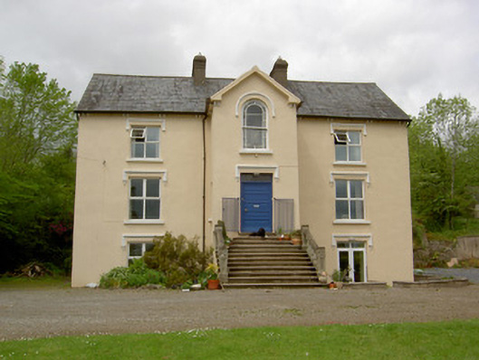 presbytery/parochial/curate's housepresbytery/parochial/curate's house · 478 yd
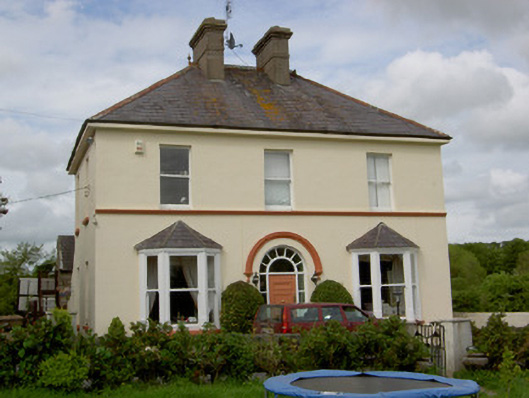 Glenview Househouse · 521 yd
 CastleCastle, unclassified · 870 yd
 Ballysheeda Castle (in Ruins)Castle, tower house · 1251 yd
 Enclosure in Ballysheeda (donohill Par.)Enclosure · 1513 yd
 Green Field ParkWood · 1.1 mi
 Maudemount BogWood · 2.0 mi
 Soloheadbeg Ambushambush · 3.5 mi
 Soloheadbeg Ambush SiteMemorial · 4.2 mi
 GortnageraghMountain / peak · 5.3 mi
 Oola HillMountain / peak · 6.0 mi
Other information
Photo: Credit not shown in the picture search · Rights wording not checked; contact us if this picture should be removed