What is recorded here
House is a house (bronze age) in Curraghatoor, County Tipperary, Ireland. A circular structure about five metres across, it had foundation trenches, stake-holes and post-holes, with a probable one-metre-wide entrance on the east side. Excavation from 1987 to 1991 exposed an off-centre hearth, a cluster of stake-holes on its west edge and two post-holes on the south side that may mark a spit over the fire. Only sections of the south and east survived because a later house was probably built over most of it, while three other Bronze Age houses lie within about five metres to the north, northeast and south.
On ground sloping gently to S, in gently undulating terrain, under pasture. No visible trace of houses above ground, though visible as cropmarks on an aerial photograph (GSI May 1977 R. 594/S. 691). House excavated (Excavation number E00455) in 1987-1991 (Doody 2007, 22-25, Structure 4). Though completely excavated only sections of the S and E survived as remainder was probably destroyed when then a later house (TS087-007----) was built over most of this house (ibid. 22). Circular house (diam. c. 5m) was defined by foundation trenches with associated stake- and post-holes, with a probably entrance on the E side (Wth c. 1m) (ibid.). Internal features include a shallow off-centre hearth with a cluster of stake-holes on its W edge and two post-holes on the S side which may represent a spit over the fire, there were also other internal post-holes, function unknown (ibid. 22-25). Three Bronze Age houses (TS087-007002-), (TS087-007001-) and (TS087-007004) are located c. 4m to N, c. 5m to NE and c. 3m to S respectively.
Compiled by: Jean Farrelly
Date of upload: 20 November 2013
This remains an important historical record, but the official description says the monument is no longer visible or has been destroyed. The monument record does not grant public access. Check the route and ask the landowner before entering private land.
- What survives
- No visible remains or recorded as destroyed
Places near here
 Enclosure in KilroeEnclosure · 1297 yd
 Enclosure in Burges WestEnclosure · 1339 yd
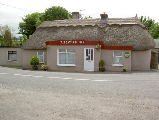 J. Keatinghouse · 1.0 mi
 Catholic Church of Our Lady and Saint Kieranchurch/chapel · 1.0 mi
 Knockane Castle ruinsCastle · 1.3 mi
 CastleCastle, motte · 1.6 mi
 Sweet ChestnutSweet Chestnut · 2.6 mi
 Rehill WoodForest · 2.7 mi
 Woodcock HillMountain / peak · 4.1 mi
 The VeeViewpoint · 4.2 mi
 Grubb’s GraveMemorial · 4.3 mi
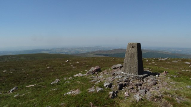 KnockshanahullionMountain / peak · 4.6 mi