What is recorded here
Standing stone in Curraghadobbin is a standing stone in Curraghadobbin, County Tipperary, Ireland. The rectangular sandstone block stands 1.45 metres tall on level ground in the Clasha river valley, where the Comeragh Mountains appear to the southwest. A shallow depression forms around its base through cattle erosion, and the stone contains scattered quartz inclusions.
On level ground in the Clasha river valley with good views in all directions. The Comeragh Mountains are visible to the SW. Monument identified during ASI fieldwork. A sandstone standing stone with some quartz inclusions (0.62m x 0.44; H 1.45m) rectangular in plan and orientated E-W. There is a depression around the base of the stone due to cattle erosion.
Compiled by: Jean Farrelly
Date of upload: 26 August 2011
Likely dating to the Neolithic or Bronze Age, the standing stone may have functioned as a territorial marker, ceremonial focus, or astronomical alignment point. Its placement in an open valley suggests a connection to landscape use or ritual activity in the prehistoric period.
The monument record does not grant public access. Check the route and ask the landowner before entering private land.
- What survives
- Recorded monument
Places near here
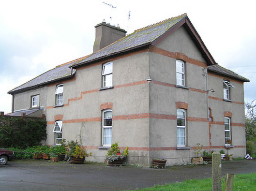 Ballyneill Castlehouse · 865 yd
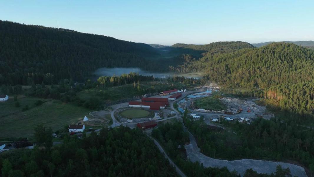 Enclosure in LissadoberEnclosure · 1156 yd
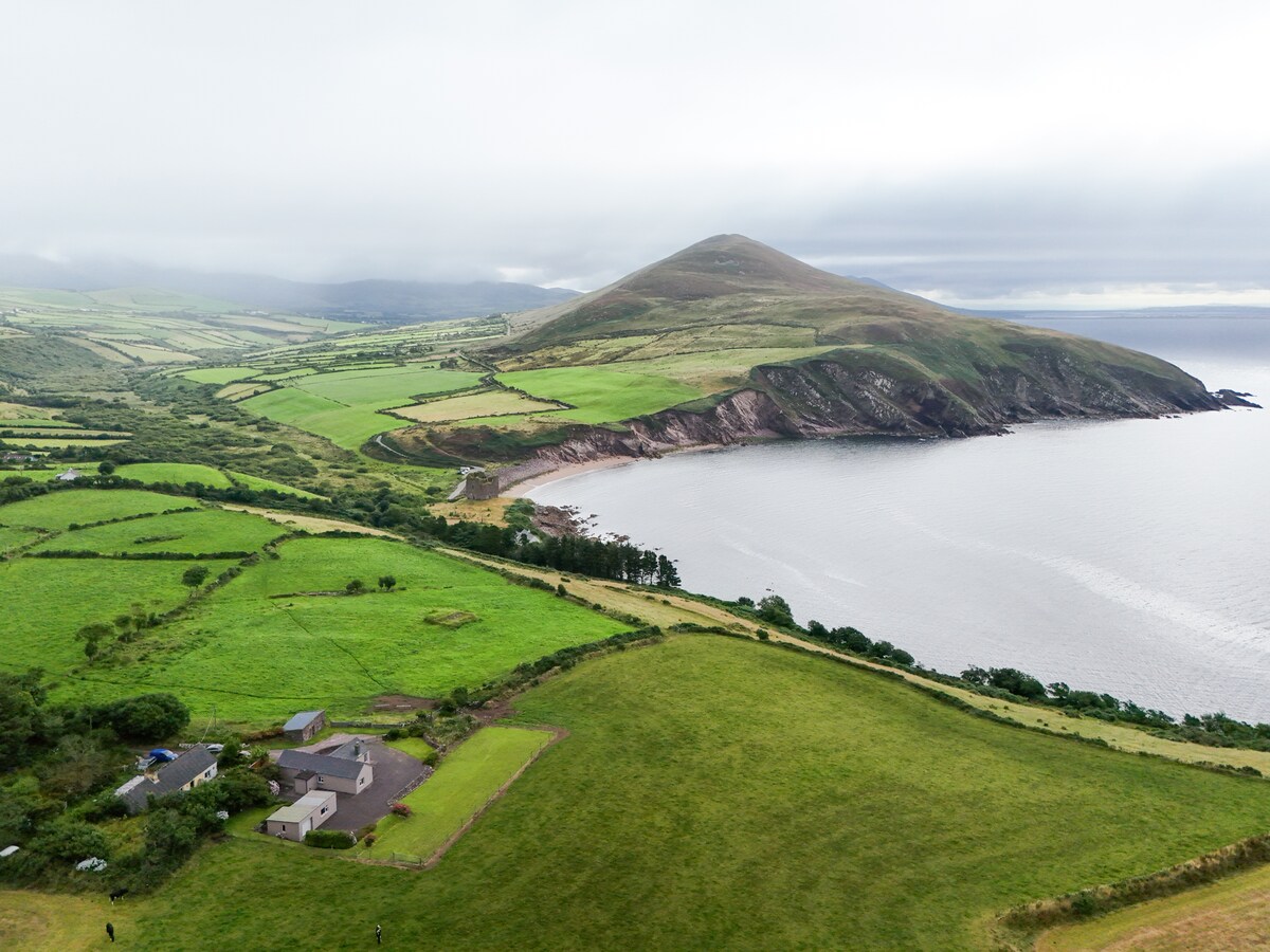 IndicatedEnclosure · 1.1 mi
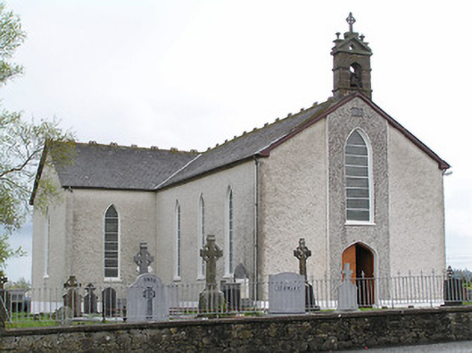 Saint Mary's Catholic Churchchurch/chapel · 1.1 mi
 Thomas KielyMemorial · 1.1 mi
 Curraghdobbin HillMountain / peak · 1.3 mi
 Wild CherryWild Cherry · 1.3 mi
 CastleCastle, ringwork · 2.2 mi
 Kilcash WoodForest · 2.4 mi
 Carrigadoon HillMountain / peak · 2.6 mi
 Kilcash CastleCastle · 2.8 mi
 Carrigaloe RockNamed rock · 3.0 mi