What is recorded here
On the shoulder of a NE-facing slope. Overgrown subcircular area (dims. 37.5m N-S; 33m E-W) defined by an earthen bank (Wth 4m; int. H 0.5m; ext. H 0.6m at W (upslope) to 2.2m at E) with an outer berm (Wth 1-5m) surrounded by a field bank. No visible remains or local knowledge of the Man-made underground passage marked on the latest ed. of the OS 6-inch map. Entrance not identified.
The above description is derived from the published 'Archaeological Inventory of County Waterford' (Dublin: Stationery Office, 1999). In certain instances the entries have been revised and updated in the light of recent research.
Date of upload/revision: 23 December 2008
The monument record does not grant public access. Check the route and ask the landowner before entering private land.
- What survives
- Recorded monument
Places near here
 CaveMan-made underground passage · 1 yd
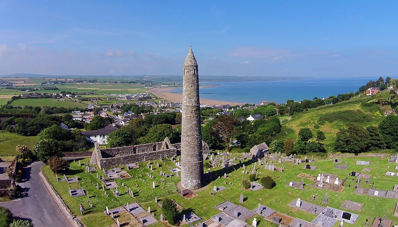 Embanked enclosureFairy fort / earthen ringfort · 516 yd
 Curragh/Pebble BeachBeach / strand · 648 yd
 IndicatedRoad, road/trackway · 1342 yd
 Ballyquinn BeachBeach / strand · 1362 yd
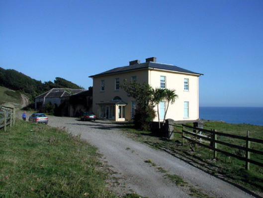 Ballyquin Househouse · 1620 yd
 Baile StairiúilVisitor information · 1.4 mi
 Ardmore Cliff WalkWalking route · 1.5 mi
 Ardmore Round TowerMedieval round tower · 1.5 mi
 Cabin PointHeadland · 3.9 mi
 Site of CastleCastle, unclassified · 4.1 mi
 Kilmaloo LoughWood · 4.5 mi