
What is recorded here
Located on a rise towards to the bottom of a NE-facing slope, with a NW-SE stream c. 100m distant, and the sea c. 600m to the SE. There is no visible evidence of, or local knowledge of the Man-made underground passage marked on the 1927 ed. of the OS 6-inch map in the interior of rath (WA038-040001-).
Date of upload: 10th October, 2011
Compiled by: Michael Moore
The monument record does not grant public access. Check the route and ask the landowner before entering private land.
- What survives
- Recorded monument
Places near here
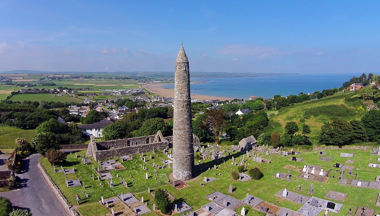 Embanked enclosureFairy fort / earthen ringfort · 516 yd
 Curragh/Pebble BeachBeach / strand · 648 yd
 IndicatedRoad, road/trackway · 1342 yd
 Ballyquinn BeachBeach / strand · 1362 yd
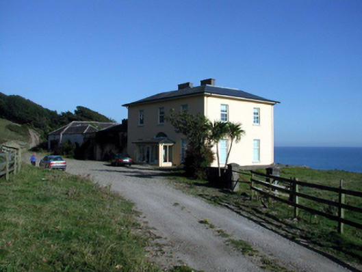 Ballyquin Househouse · 1620 yd
 Fulacht fia in MoneaFulacht fia · 1728 yd
 Baile StairiúilVisitor information · 1.4 mi
 Ardmore Cliff WalkWalking route · 1.5 mi
 Ardmore Round TowerMedieval round tower · 1.5 mi
 Cabin PointHeadland · 3.9 mi
 Site of CastleCastle, unclassified · 4.1 mi
 Kilmaloo LoughWood · 4.5 mi
Other information
Photo: Credit not shown in the picture search · Rights wording not checked; contact us if this picture should be removed