What is recorded here
On a gentle SE-facing slope. Circular grass-covered area (diam. 43m N-S; 40m E-W) defined by an overgrown earthen bank (Wth 3.3-4.5m; int. H 0.9m at N to 1.6m at S; ext. H 0.9m at N to 1.4m at S) and hedge with a fosse (Wth of top 3-4.3m; Wth of base 2.1-2.3m; D 0.5-0.9m). The bank is incorporated into a field bank NW-NE and the S part of the interior has been removed (D 1m). The entrance (Wth 2.8m) and causeway (Wth 3.5m) are at NW.
Compiled by: Michael Moore
Date of upload: 24 August 2010
This remains an important historical record, but the official description says the monument is no longer visible or has been destroyed. The monument record does not grant public access. Check the route and ask the landowner before entering private land.
- What survives
- No visible remains or recorded as destroyed
Places near here
 IndicatedFairy fort / earthen ringfort · 507 yd
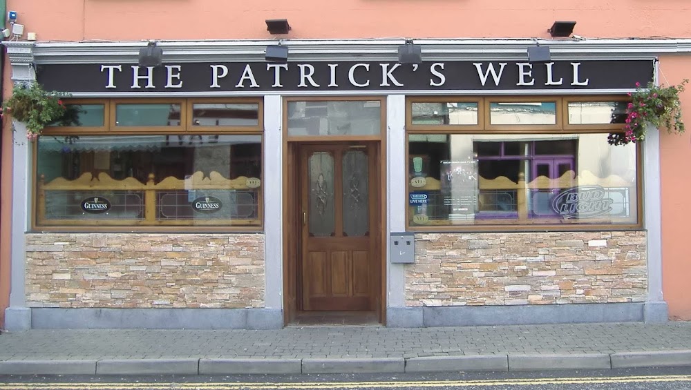 St Patricks WellHoly well · 545 yd
 Penitential station in GortlustiaPenitential station · 548 yd
 Church (in Ruins)Church · 1.9 mi
 Doughill ForestForest · 2.4 mi
 CastleCastle, unclassified · 2.4 mi
 Strokestown ParkHeritage attraction · 2.5 mi
 Strokestown House GardensHeritage attraction · 2.6 mi
 Common LimeCommon Lime · 2.8 mi
 Slieve BawnMountain / peak · 3.0 mi
 Leitrim CastleCastle, unclassified · 6.1 mi
 Commons North WalkVisitor information · 6.4 mi